Courage

South to the outskirts of Greifswald

“For God did not give us a spirit of cowardice but rather of power and love and self-control.”
– 2 Timothy 1:7

Tour: 22 km, 5.5 hours walking time
Tour with detour: 23.2 km, 6 hours walking time
Variant: 15 km, 4 hours walking time
Surface: asphalt, mostly forest and meadow paths

Tour at Komoot

There are surely already small or large rituals of hope or confidence in your life, such as lighting a candle, calling a close friend or even going for a walk. Walking moves. The path goes south, towards the sun. This path is the least predictable and most encourages you to bravely take your own steps. And it goes south. This is associated with summer, sun and lightness.


Remember the long summer vacations of your childhood or special summer experiences in which you discovered your environment wildly and freely.

What does creation mean to you? Where do you draw strength from? What gives you courage? Let yourself be encouraged by small and large encounters on the way today.

Features

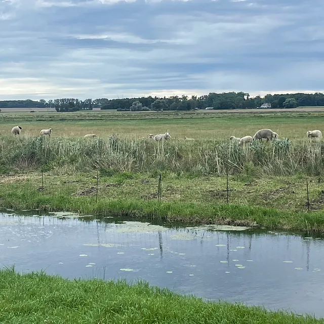
Depending on the season, the outward route of this tour may be difficult to see due to the tall grasses and flowers or wet meadows. Nevertheless, it is worthwhile, because flora and fauna can be observed undisturbed here. Most of the way back is the Via Baltica, the Way of St. James, which comes from the Baltic States, runs through northern Germany to Münster in Westphalia, and finally joins the network of St. James's pilgrimage routes towards Santiago de Compostela.

Directions

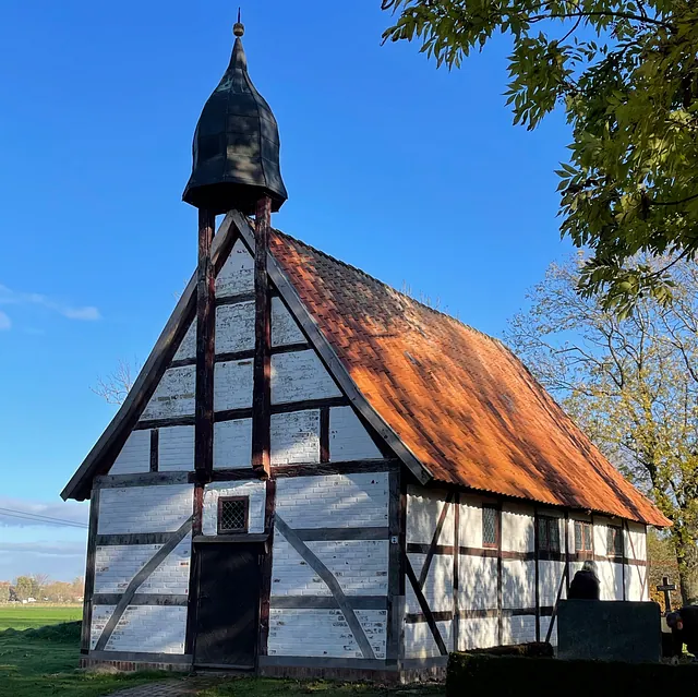
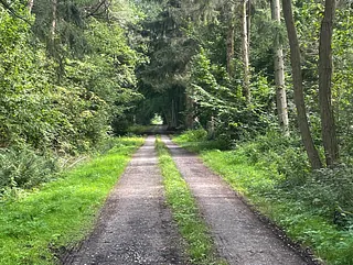
From the Jager chapel, walk straight ahead on the asphalt road with the district road (K19) behind you, then on the dirt road, which later becomes a forest path, until you reach a turning asphalt road. Cross this junction straight ahead in the direction of “Groß Petershagen”.

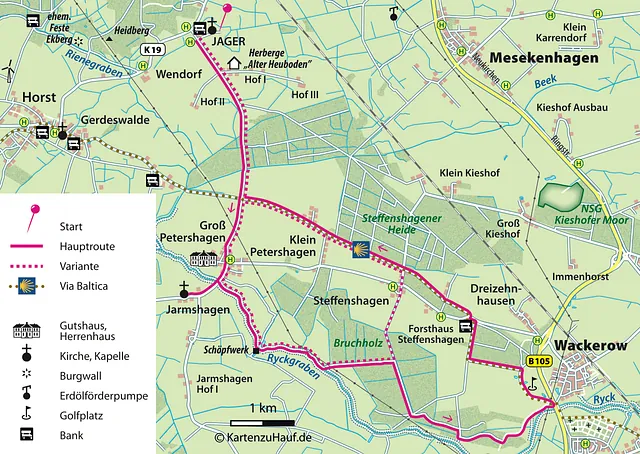
 

Here you also cross the Via Baltica, coming from the Baltic states on the left: Santiago de Compostela lies to the right, at a distance of approx. 3400 km. Continue straight ahead into the village of Groß Petershagen. Go straight ahead on the village road (you can see the gable of the manor house on the right) and with a small left-right turn, this road leads out towards Jarmshagen up to a small bridge.

A detour to the Jarmshagen chapel is worthwhile. From the bridge, continue straight ahead for about 600 meters into the village of Jarmshagen. The Jarmshagen chapel is located on the right-hand side.

Return to the bridge over the Ryckgraben by the same route.

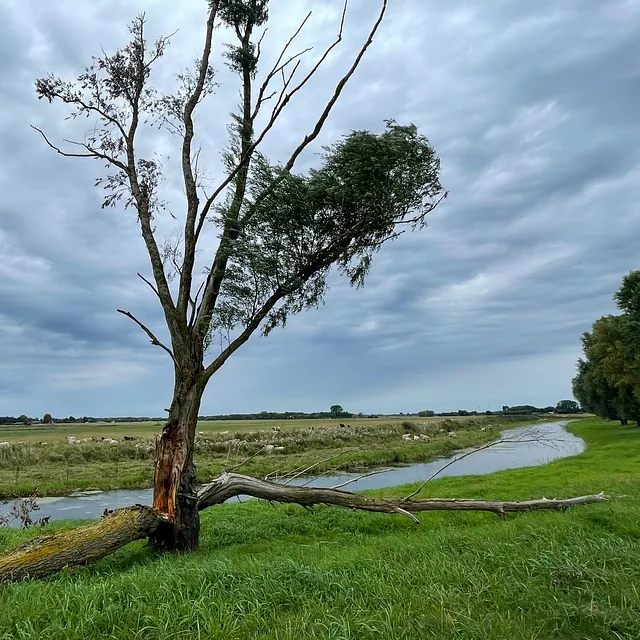
Just before the bridge that spans the Ryckgraben, turn left onto the dike. It is often unmown, but the river shows the way. At a pumping station, the path turns left along the embankment. Then it crosses the high-voltage line and at the crossing of a paved path, you turn left into a forest path. At first, the route goes straight ahead until it reaches a four-way intersection.

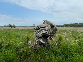
At the four-way intersection, turn right and continue straight ahead for about 1 km until you reach the five-way intersection. At this five-way intersection, continue straight ahead, even if the path initially curves to the left. At another four-way intersection, turn right. Then you will come to a fork, where you follow the left-hand path until you see a fenced-off area with many sawn-off tree trunks on your left. Turn left here and you will soon come out of the forest onto a large meadow where paths can get lost in the tall grass. The outermost tree on the right serves as a point of orientation at the opposite edge of the forest – so the meadow is crossed diagonally. At this point, you will come across a meadow path that crosses a canal only at this point. Follow the meadow path (which may also be unmown). At the beginning, there is a piece of old barbed wire fence on the left, then the dike rises. But you continue on the now recognizable meadow path, and you will soon see parts of the golf course on the left.

Variant

At this intersection, turn left and follow the road straight ahead. After a barrier, the road makes a slight right turn and you can already see “Steffenshagen”. Go straight ahead through the village, cross the district road, continue straight ahead until you reach the Via Baltica and the large circular route just before the town exit sign on the left.

At the end, the path leads to the pedestrian underpass of the Greifswald bypass (B105) in the district of “Wackerow”. From there, you can see the Greifswald Cathedral across the Ryckgraben. Unfortunately, there is no bench here.

Now it's time to go back on the Via Baltica. The yellow scallop shell on a blue background shows the way, as do yellow arrows on the tree trunks in some places. Initially, the route leads across the golf course. Immediately behind the golf course, turn left before the edge of the forest on a path, turn right at the end of the path and finally left before “Waldstraße” in the direction of the former Steffenshagen forester's lodge. A private bench in front of a house invites you to take a break. From there, the Way of St. James leads to the right along the road, then immediately to the left onto the old railroad embankment, with fields on the right and forest on the left. Ignore any paths that branch off; continue straight ahead, past the city forest. This is where the variant joins the main route.

Refreshments

Hanseatischer Golfplatz e.V.
Golfplatz 1

Greifswald-Wackerow


April to October
daily 7 AM - 9 PM
Drinks and cakes
Sat. & Sun. also hearty snacks.