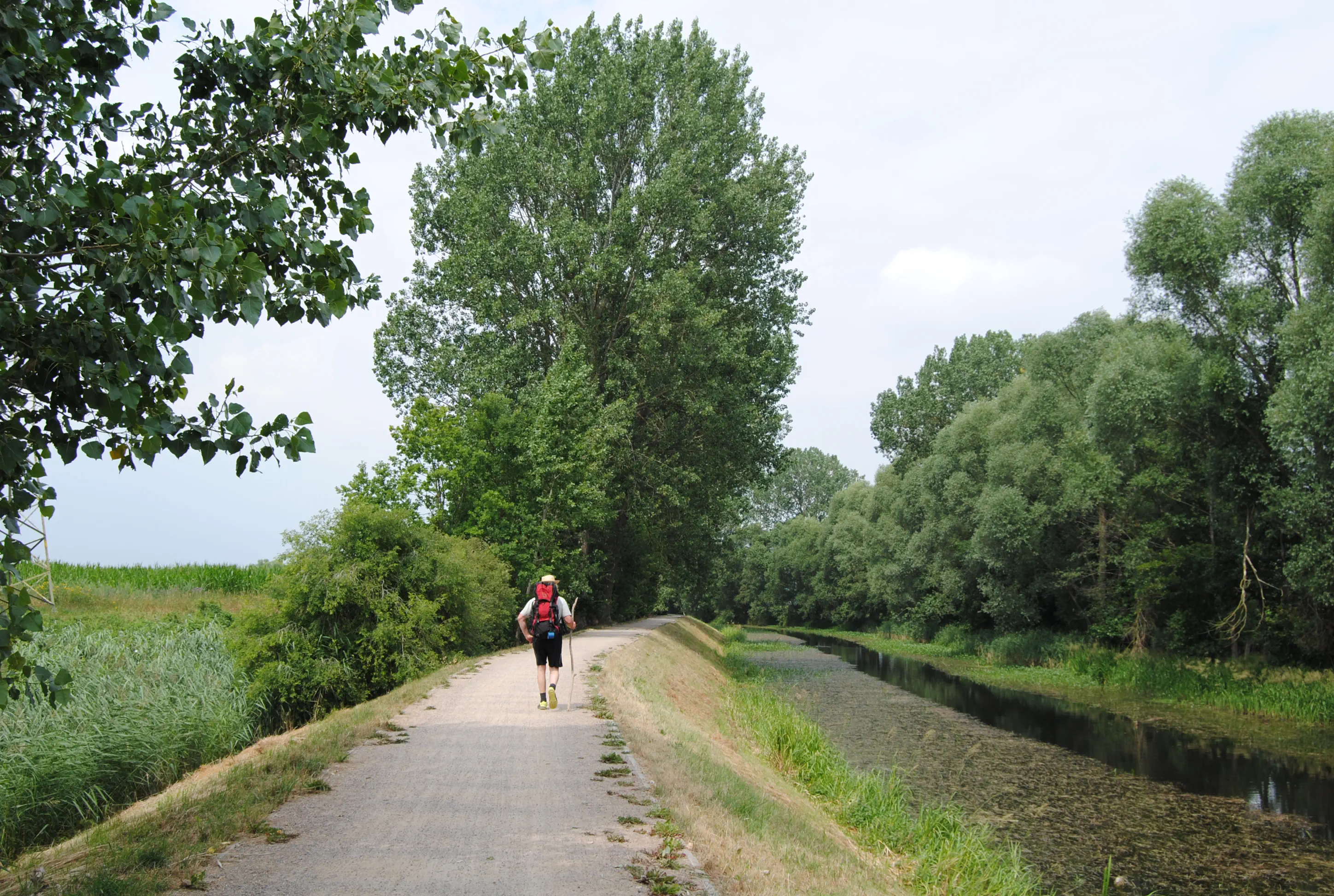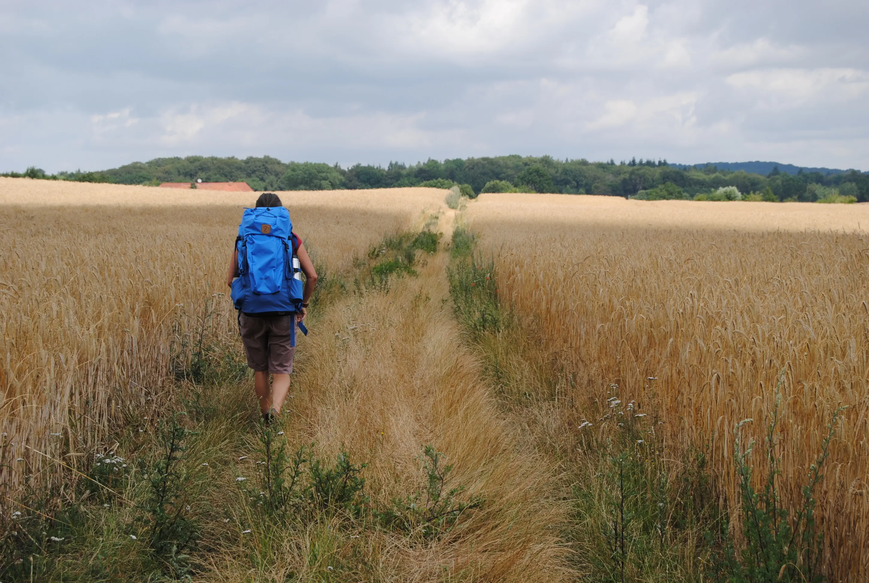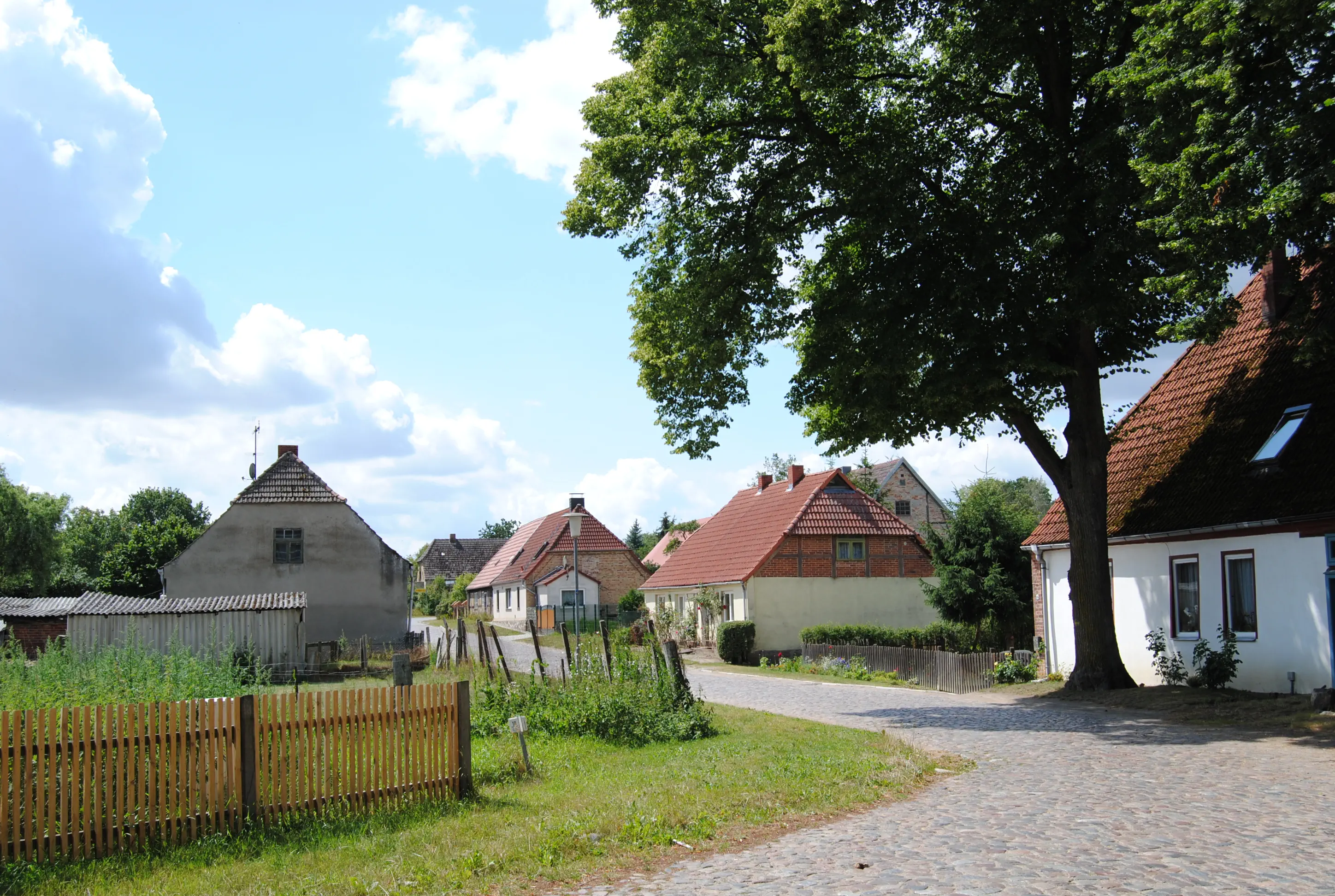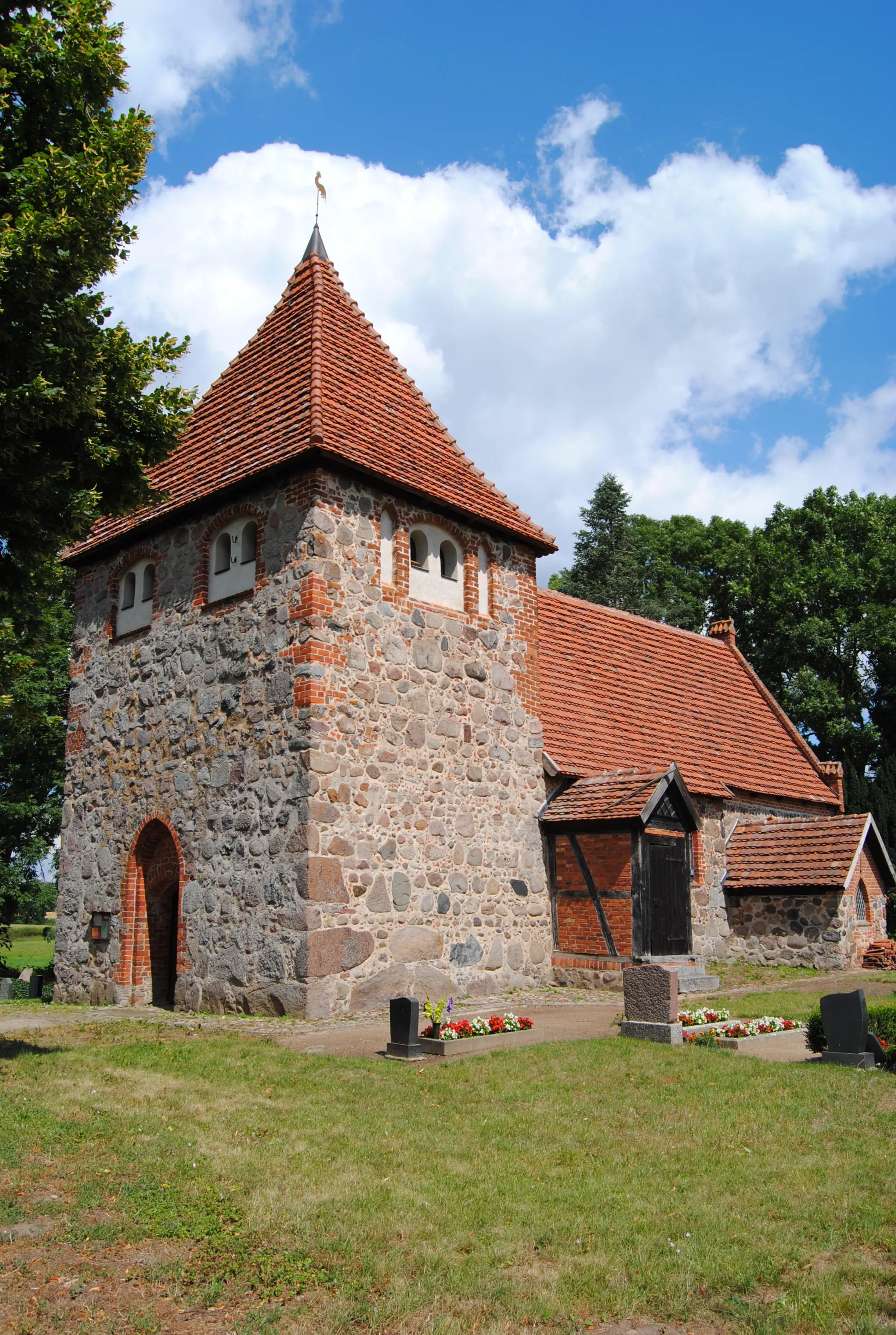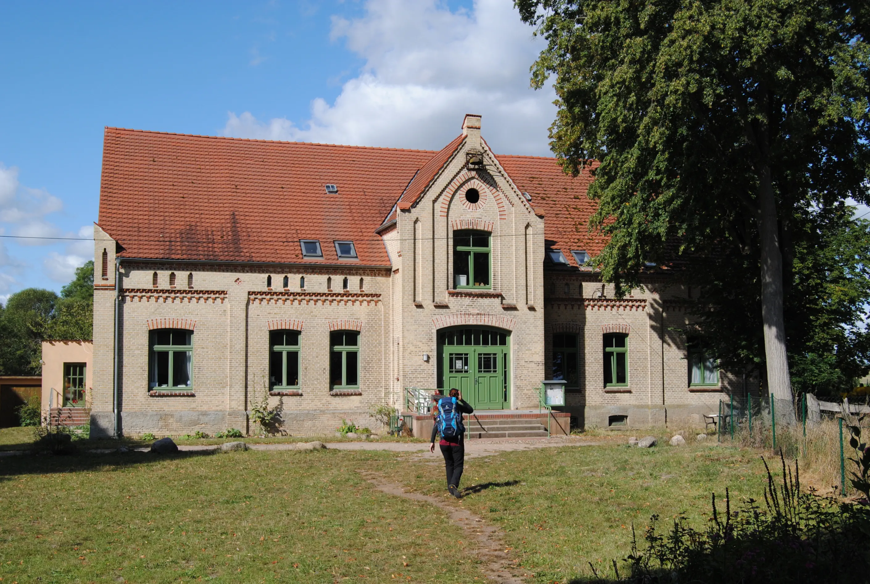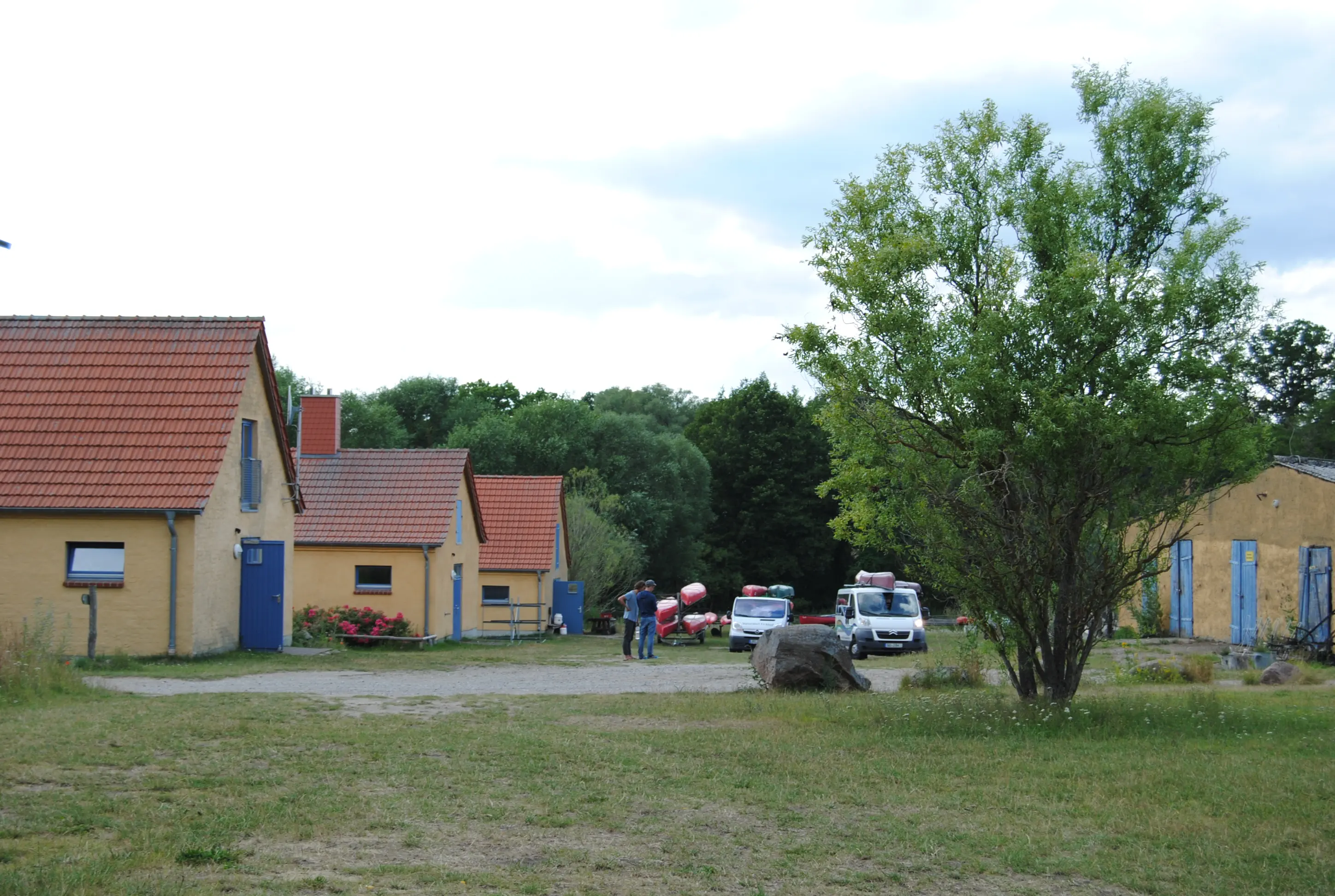
Hike from Tribsees to Tessin: This day's stage is a challenge for your inner balance. Between the A20 highway and large agricultural areas, however, there are unexpectedly beautiful views, old paths and pretty villages.
Starting point: Tribsees
Destination: Thelkow or Tessin
Length and time: Thelkow (19 km), 6 hours or Tessin (26 km), 8 hours
Address and contact details for accommodation
Thelkow: Schullandheim Gutshaus Thelkow, Dorfplatz 1, 18195 Thelkow, Tel. 038205 14947 or 0173 9563228, gutshaus-thelkow.de, shared room, price: from €13 p.p.
Tessin: Protestant vicarage Tessin, Rostocker Straße 5, 18195 Tessin, Tel. 038205 13243, tessin@elkm.de, with sleeping mat and sleeping bag you can spend the night in the parish hall, price: a donation is requested.
Note:
Supplies are available in the two supermarkets (Edeka and Lidl), which are the only shopping facilities today.
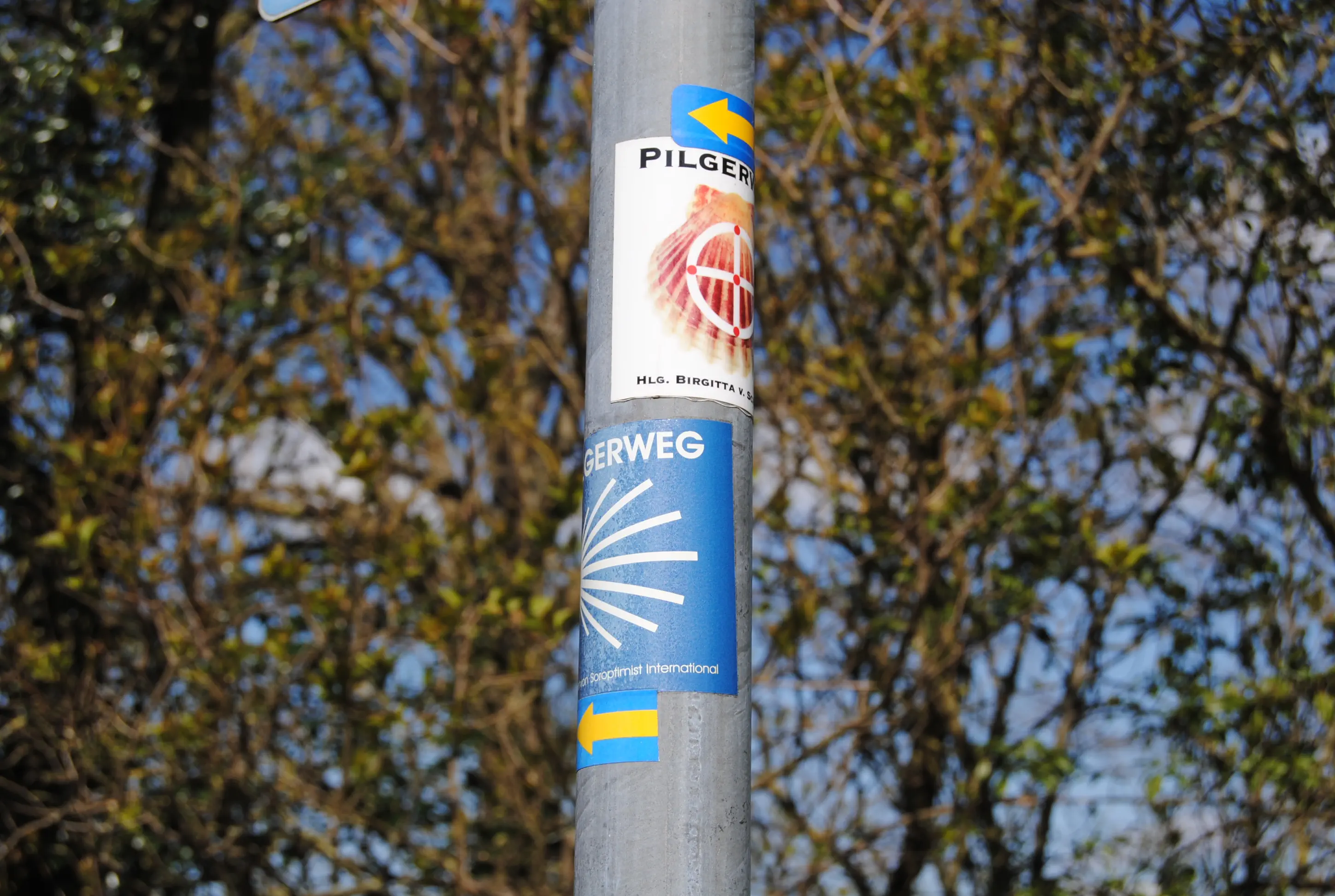
Directions:
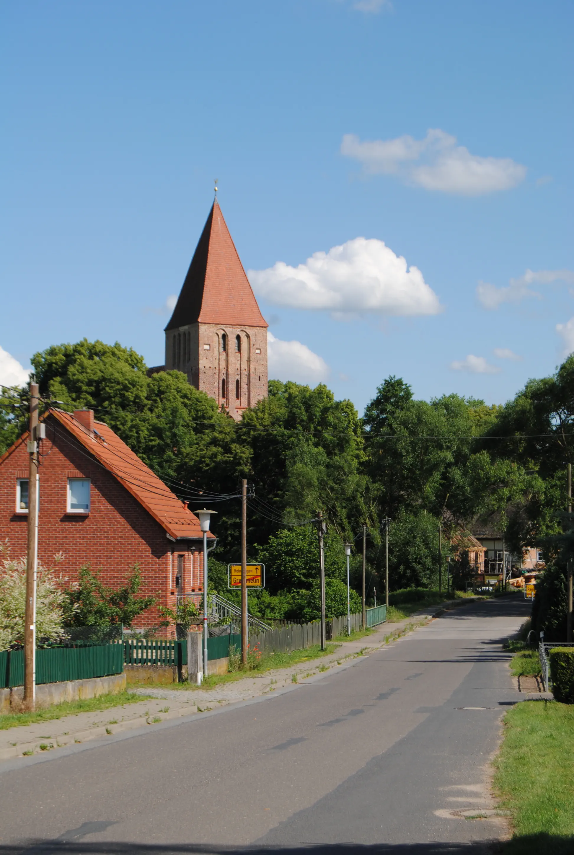
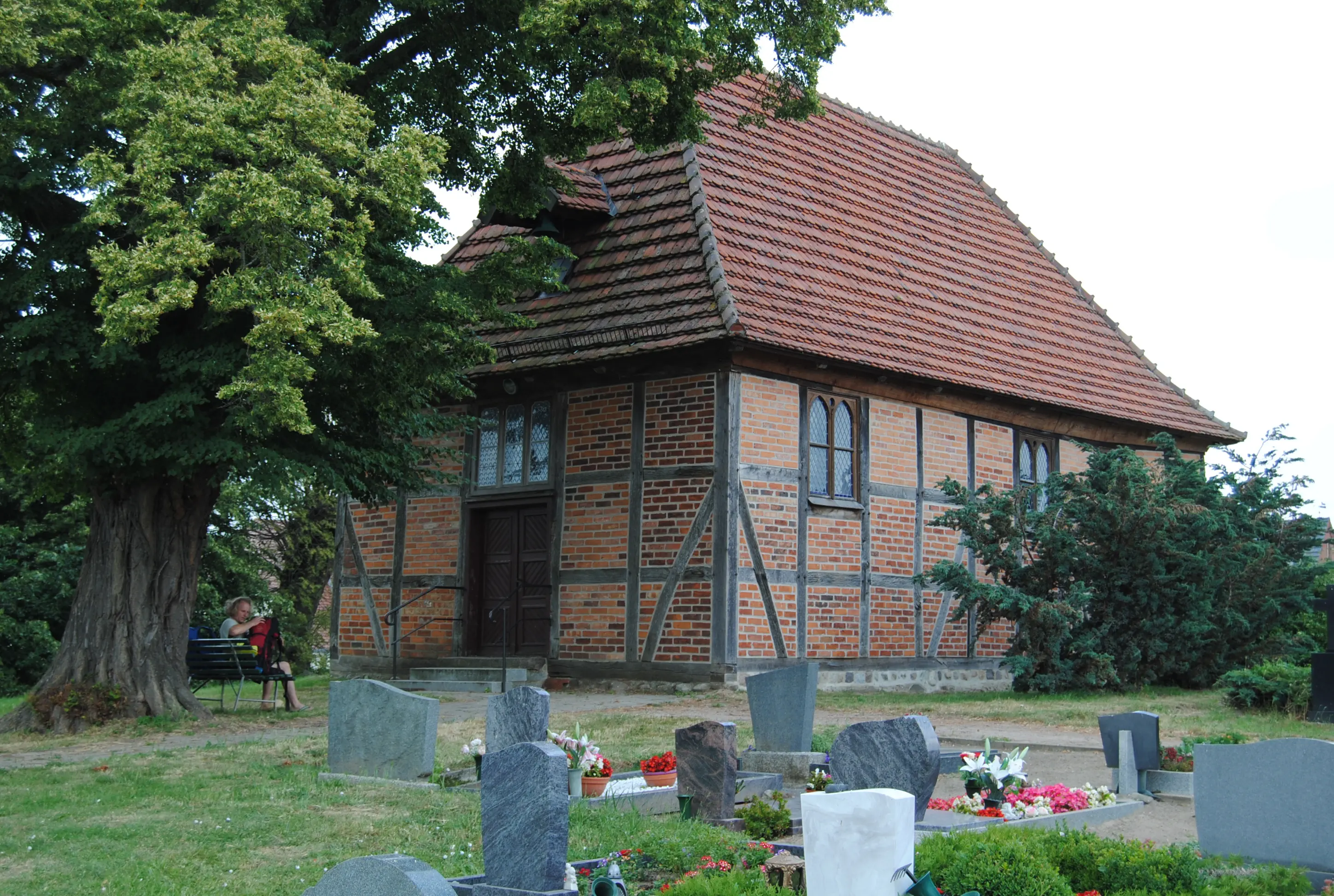
From St. Thomas Church, walk back through the city gate onto “Goethestraße”. Follow this to the right. Turn left at “Sülzer Chaussee”. The pilgrimage route follows the cycle/footpath alongside the road out of Tribsees, turns right before the A20 freeway slip road and remains alongside the road until Langsdorf. This noisy section of the route is softened by wonderful views of the reed beds, lakes and marshes on the right. In Langsdorf, the best soft ice cream in the region is probably on the right-hand side. Shortly after the ice cream parlor, the Birgittenweg and the Via Baltica separate again. The Birgittenweg branches off to the left into “Bresener Straße”, while the Via Baltica continues straight on towards Bad Sülze. In “Bresener Straße”, turn right at the first opportunity and then left again onto “Friedhofsweg”, where you soon pass a cemetery and a small chapel. The freeway is within earshot and remains so for the next few kilometers. The path initially runs along an unpaved track close to the highway. In Böhlendorf, it follows the “Mühlenweg” into the village center. At the “Mühlenweg”/“Dorfstraße” junction, continue straight on towards Grammow/Schabow. After Böhlendorf, turn left at the crossroads towards Grammow. The path runs parallel to the highway without any shadows. After just under four kilometers, a bridge leads over the freeway to Grammow, which lies on the other side of the A20. The Birgittenweg, on the other hand, turns right onto a slab path to two houses standing apart. Here it turns left into a romantic avenue that is too narrow for cars. It ends before Neuhof on the through road. The pilgrims' path leads through the pretty villages of Neuhof, Liepen and Thelkow along the little-used thoroughfare. The background noise of the highway is now a thing of the past. Liepen is an idyllic village and there is a village church worth seeing in Thelkow. In view of the long day's stage, it is worth considering whether to spend the night in the Thelkow manor house (see above). You leave Thelkow on the “main road”. Shortly before the next village of Kowalz, a cycle path marked “Tessin/Vilz” turns off to the right from the main road. Follow this paved path, shaded by trees, to Vilz. The village of Vilz is said to have been founded at the beginning of the 13th century. The old village center - rectory, school, manor house and houses of the estate workers - can still be seen around the church.
Fieldstone church (Vilz):
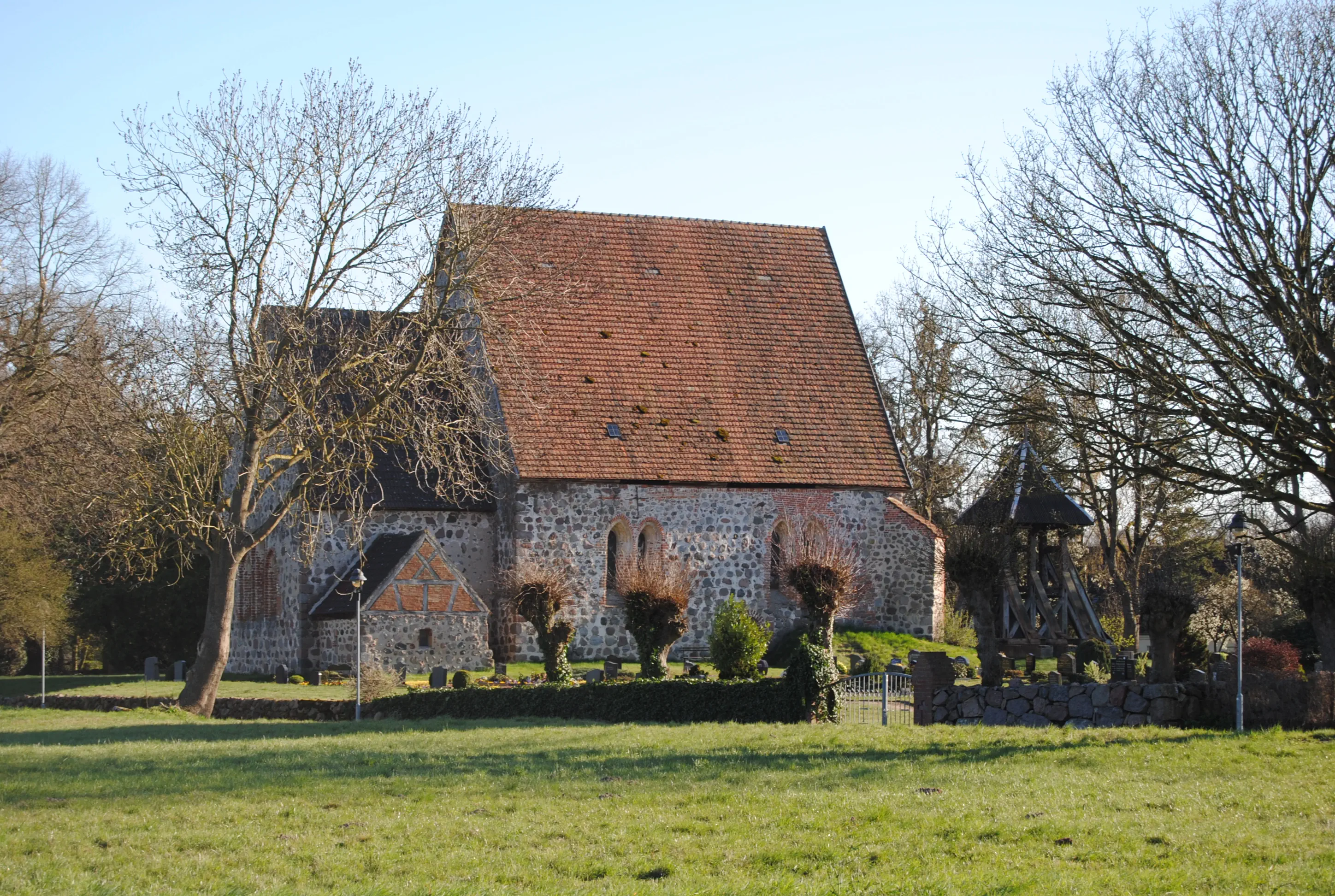
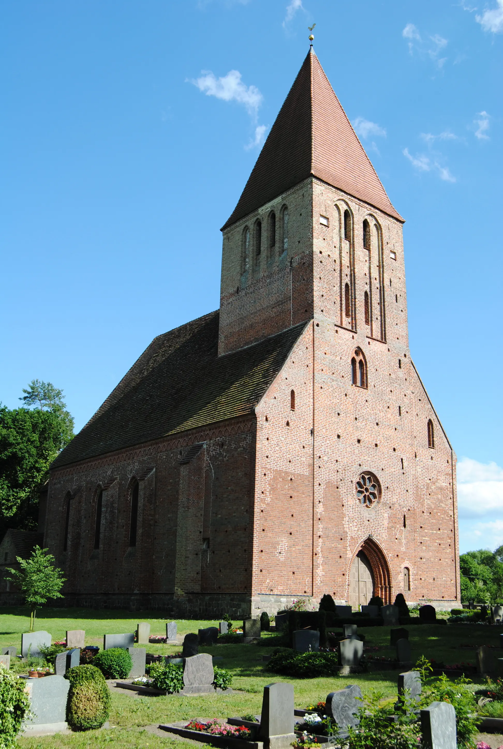
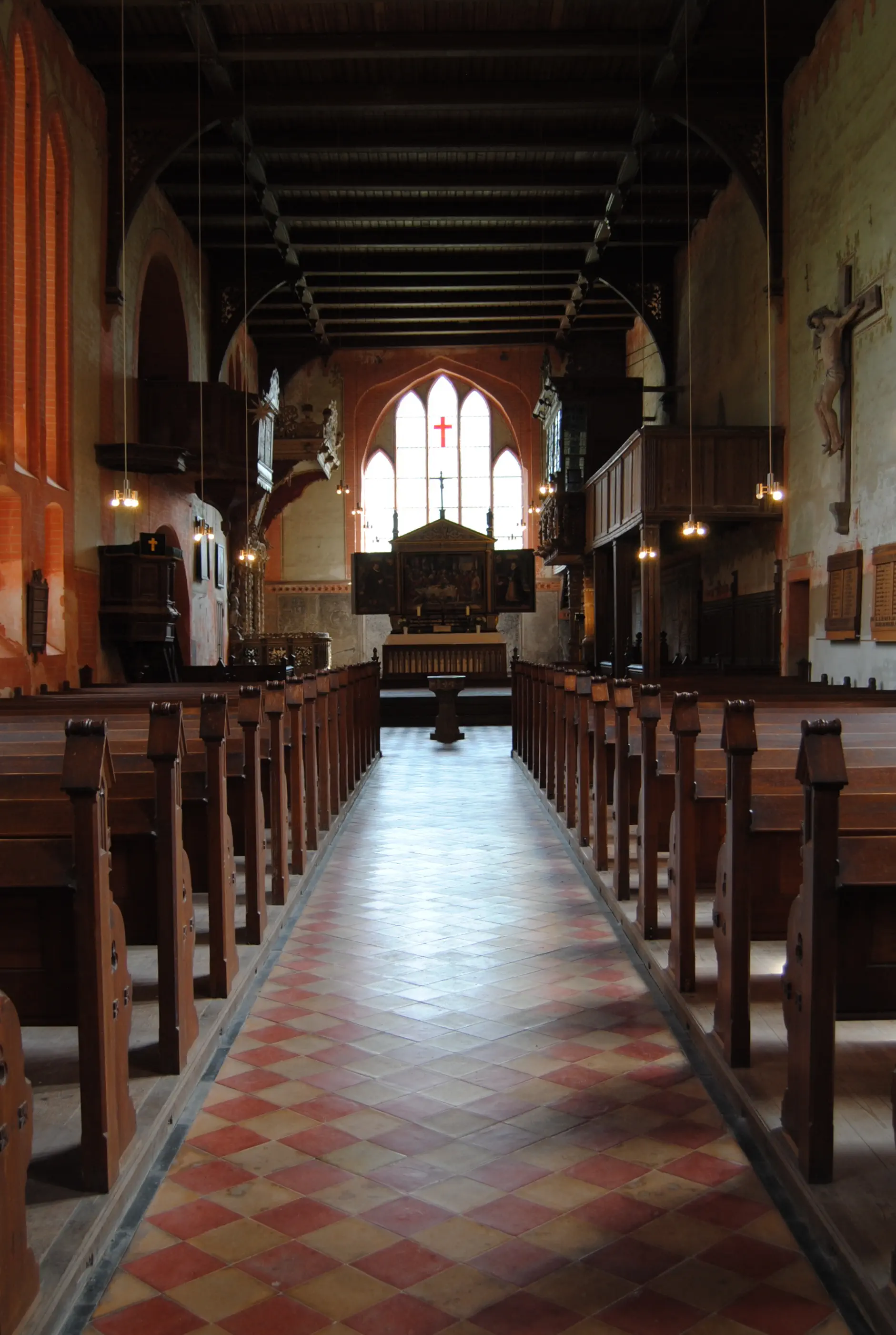
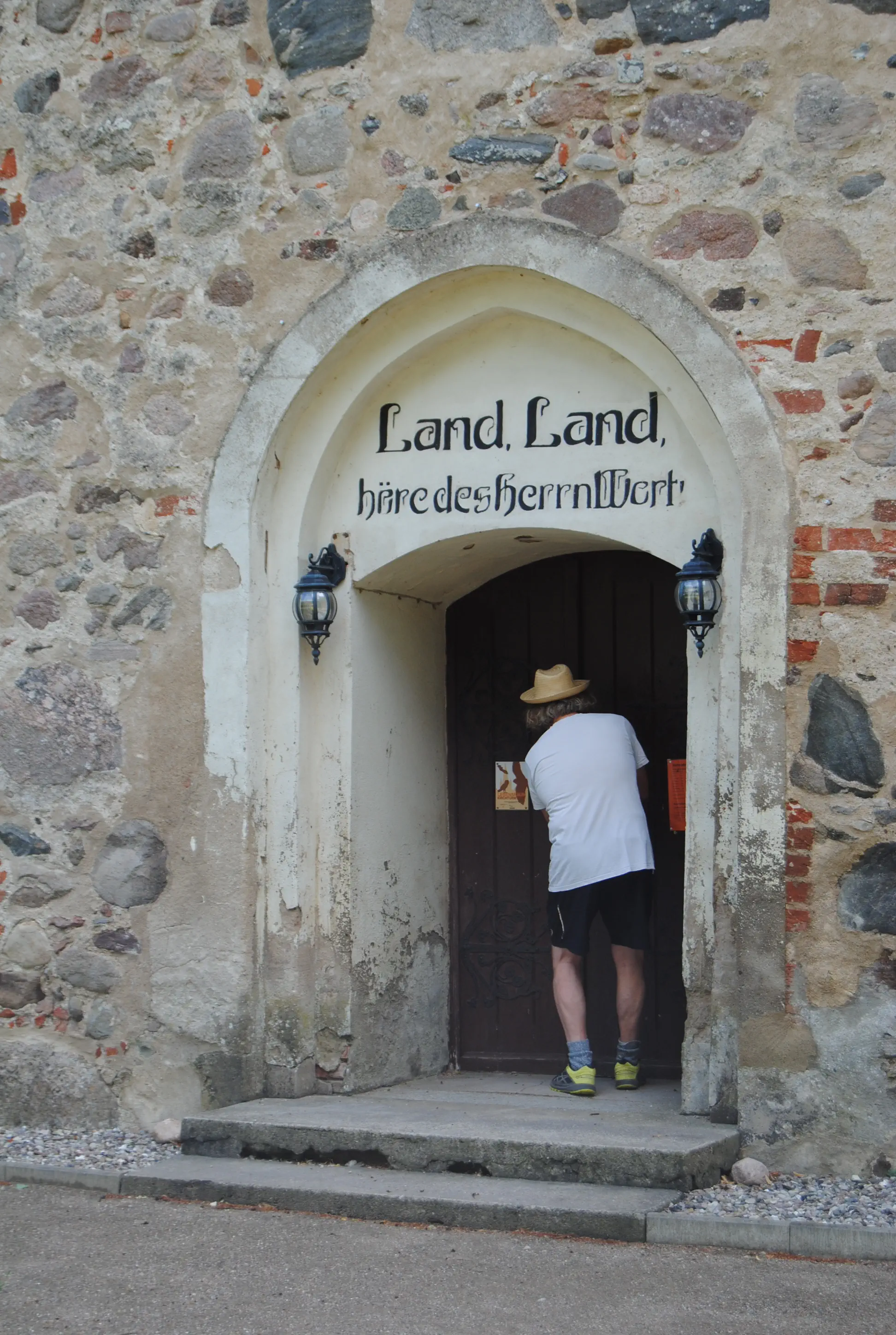
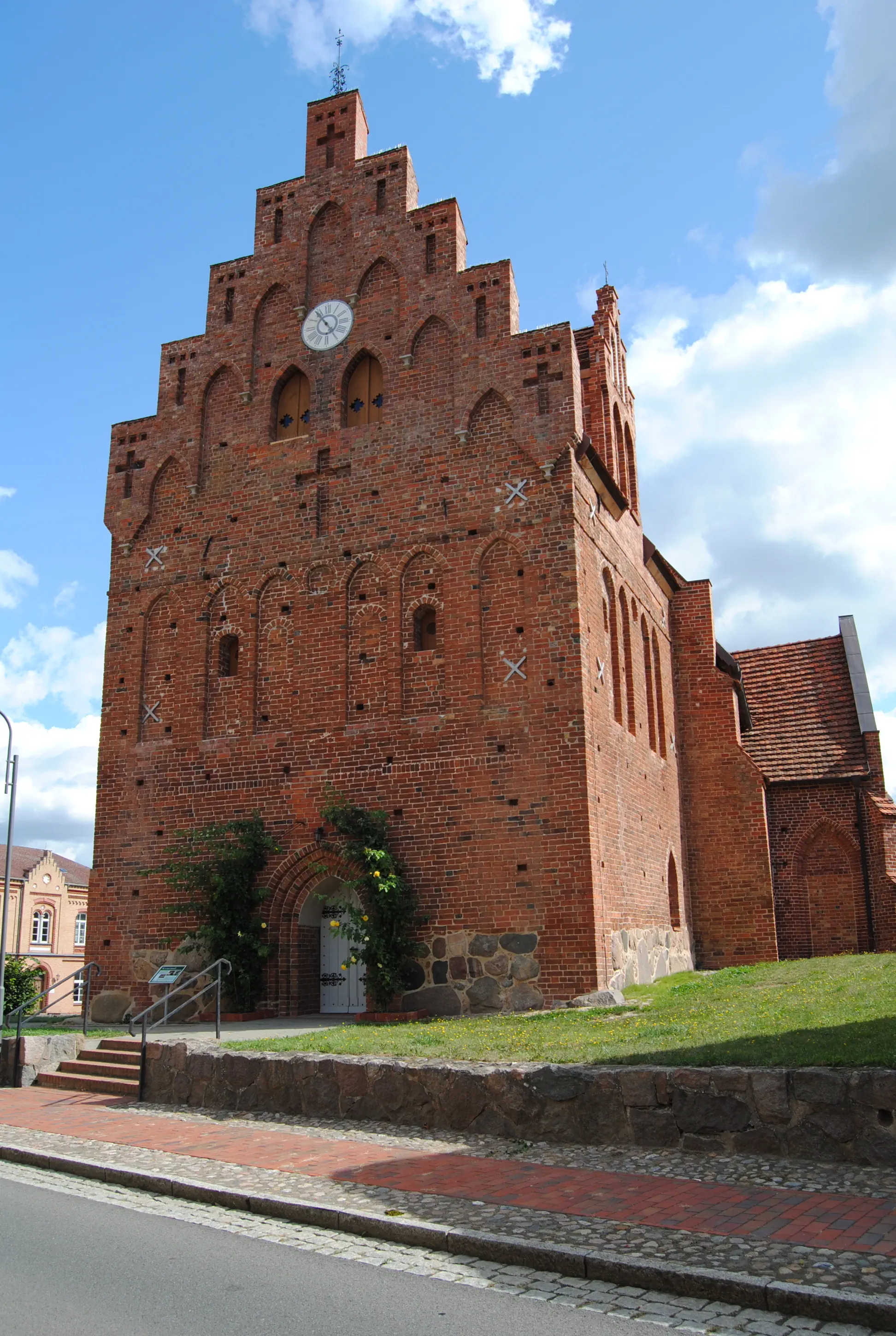
The towerless village church, dedicated to St. James, dates back to the 14th century. It has Romanesque and Gothic elements. The gable is decorated with remarkable blind decorations. The altar is late Gothic. The rococo-style pulpit dates from the 18th century. The church was under the patronage of the von Moltke family until the 19th century. Two chair cheeks from the 16th century are decorated with their coat of arms.
Directions:
Coming from the church, turn left slightly downhill to “Gnoiener Chaussee”. Here you soon turn right onto the cycle/footpath. Where a small wood begins, there is a boulder on the right with “Tessin 1.02 km” written on it. The footpath now runs straight ahead along the embankment of the former turnip railroad. Cross a bridge over the Recknitz and continue straight ahead until you reach “Sülzer Straße”, where you turn left. After a petrol station comes the Penny supermarket, then the cemetery. After the next crossroads, the road is called “Rostocker Straße”. The parish office is on the right-hand side, opposite St. John's Church in Tessin.
St. John's Church (Tessin):
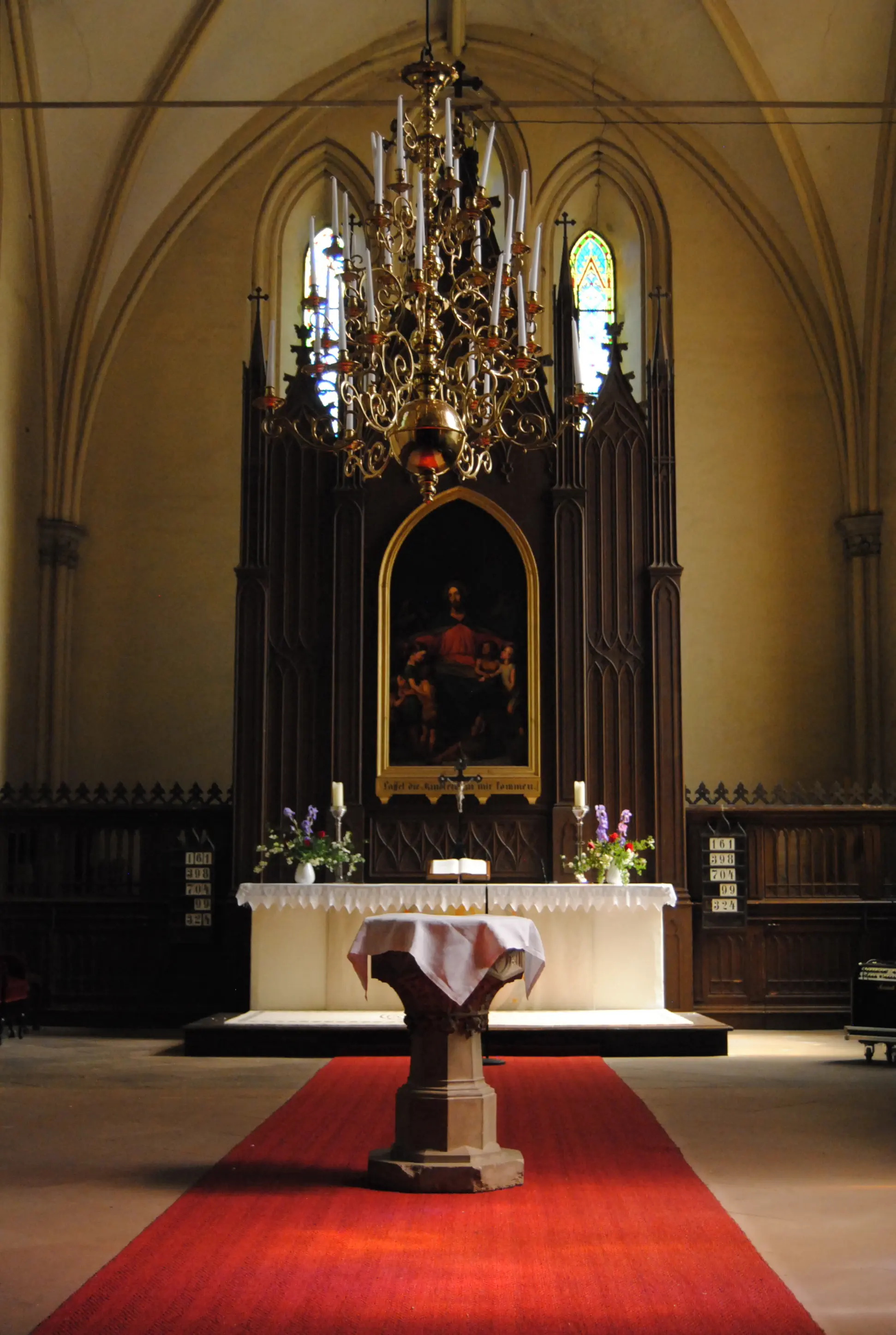
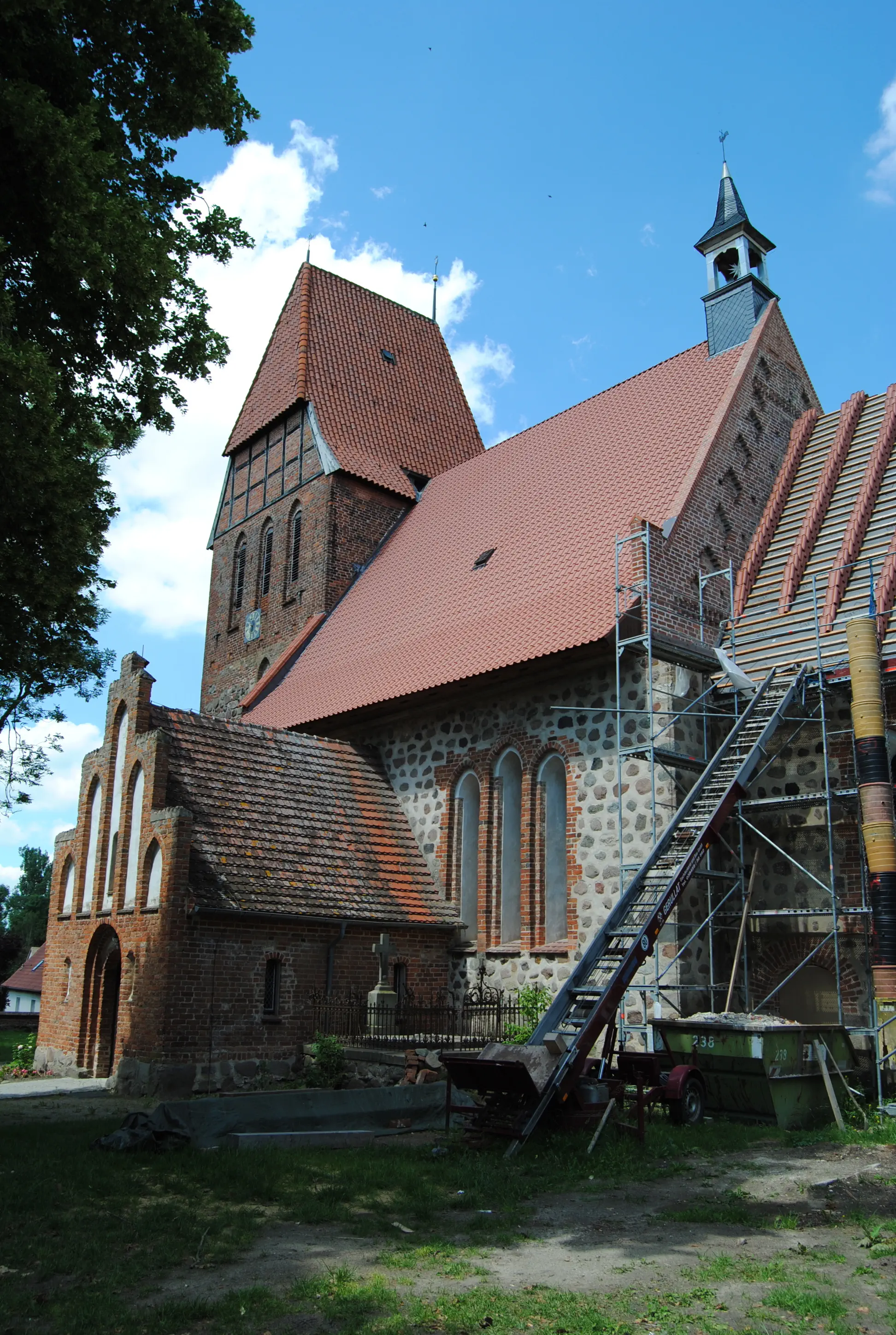
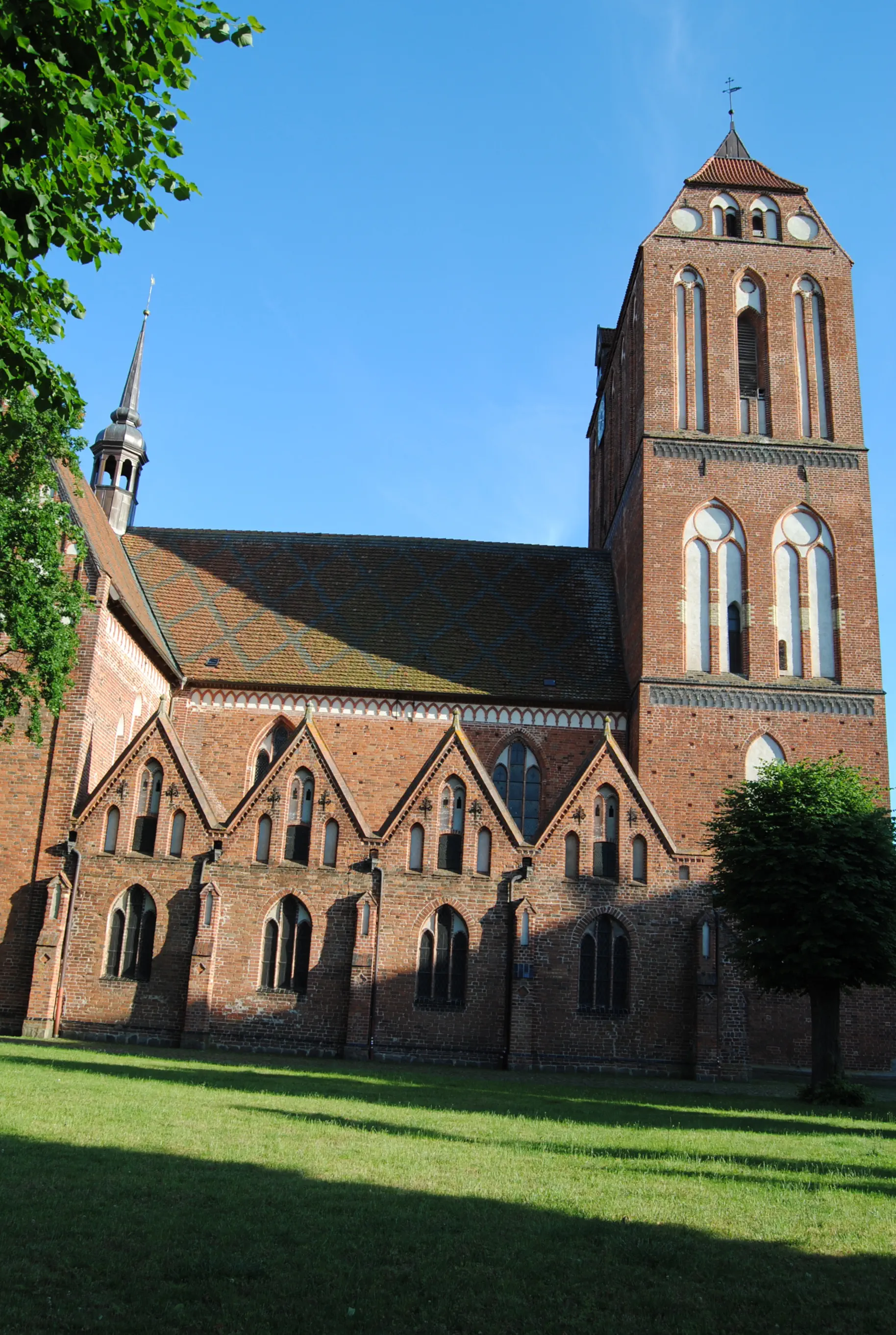
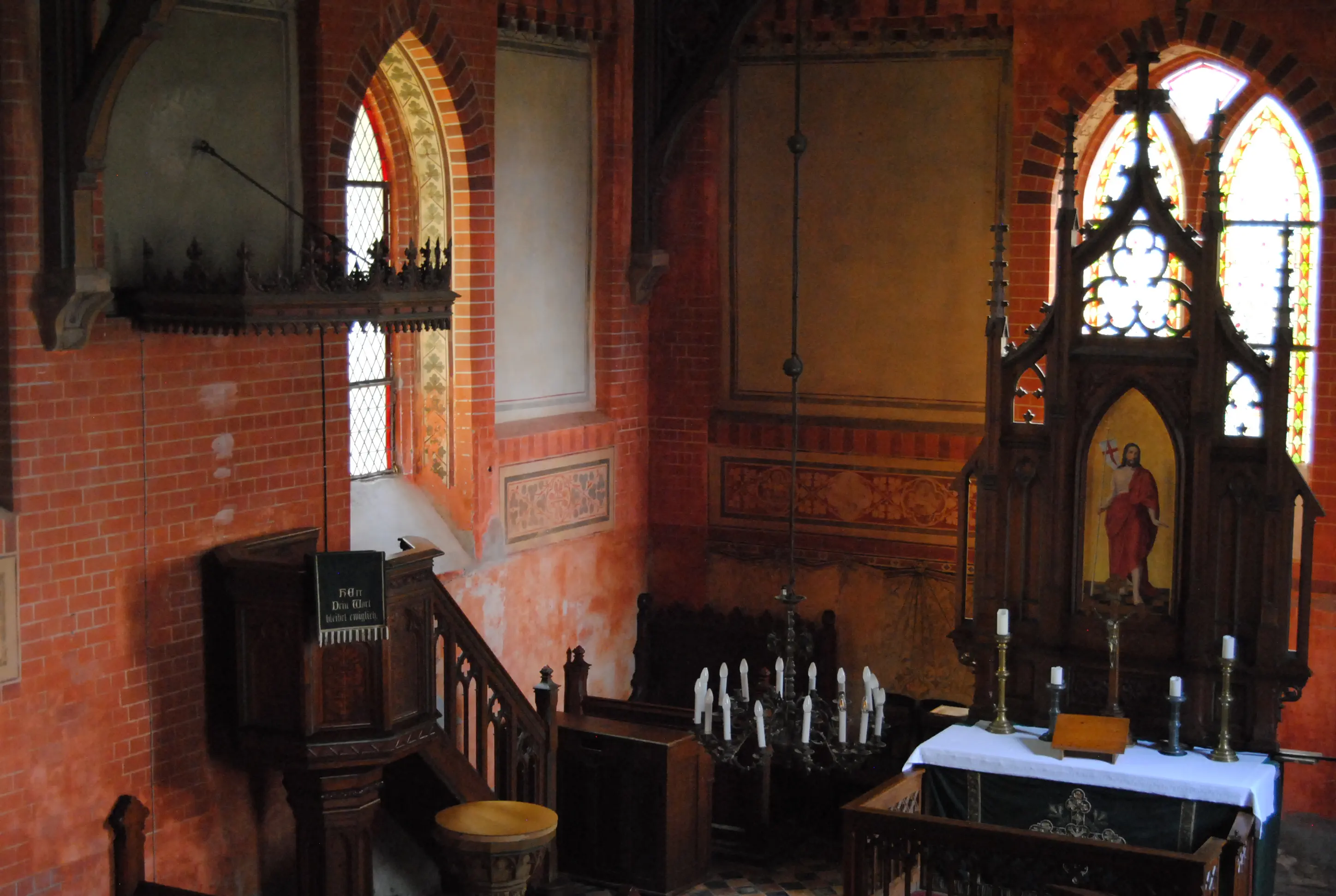
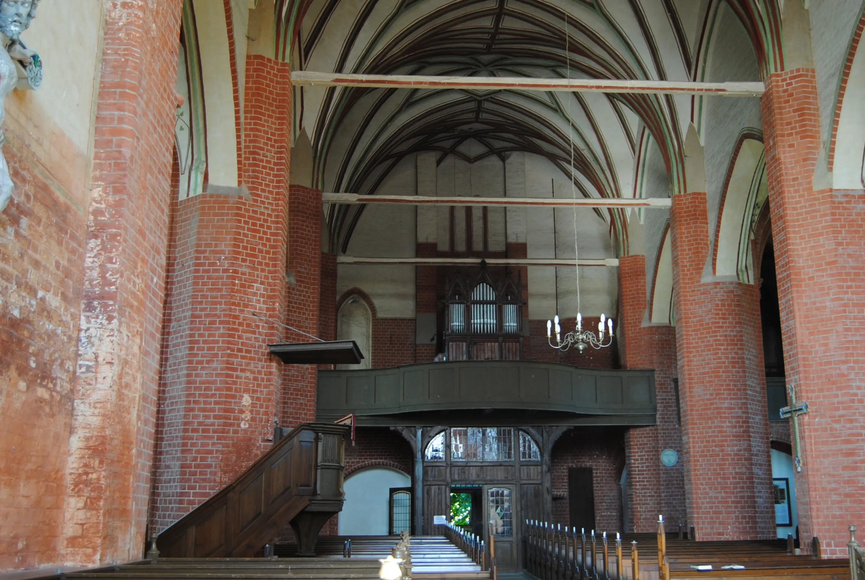
The town church (Tessin received its town charter in 1323), a three-flyed Gothic basilica, is located in the historic town center. At the end of the 19th century, Gotthilf Ludwig Möckel reworked parts of the baroque interior of the church in a neo-Gothic style. Today, the pulpit and stalls are still Baroque.
Morning Verse
I will praise you among the nations, O Lord, and sing praises to your name.
(Psalm 18:50)
Midday Meditation
How can words praise you, you who cannot be expressed in words? How can thoughts reach you, you who cannot be grasped by any thought? You alone, inexpressible One, with you alone everything is preserved, everything hopes in you, you are the goal of everything. Have mercy on me.
(after the church father Gregory of Nazianzus (around 390))
Evening Song
Great God, we praise you, Lord, we praise your strength. The earth bows down before you and admires your works. As you were before all time, so you will remain forever.
(Protestant hymnal 331, 1)
Address and contact details for accommodation
Laage: Ev. Christopherus-Gemeinde Laage, Pfarrhaus, Pfarrstraße 4, 18299 Laage, Tel. 038459 18997, laagechristopherus@elkm.de, Overnight stay in the parish hall with sleeping mat and sleeping bag, kitchen and bath/shower available, price: a donation is requested.
Note:
There are two supermarkets (Edeka and Penny) where you can buy provisions; there are no other places to buy food along the way.
Directions:
Go down Kirchenstraße diagonally opposite the portal of the Johanneskirche. Turn right onto St.-Jürgen-Straße before the market square and town hall. Go past the community center and continue straight ahead for about a kilometer. Go past the sports field and Anne-Frank-Schule until you leave Tessin. A foot/bike path leads to the left, past a lookout tower and the cemetery. After another kilometer, a bridge crosses the A20. Shortly after the sign for the village of Weitendorf on the right, a dirt road branches off to the left. This is the long-distance riding trail Stettin Lübeck, a white sign with a green horseman, which the Birgittenweg now follows. In Wohrensdorf, turn left towards the manor house; a footpath runs past it on the left. After about 400 meters, the path forks (and meets the variant described below). Turn right.
Alternative route:
Directly behind the Tessiner Cemetery, it is possible to reach a footpath by going along the fence on the left. The path continues under the A20 and straight ahead along the valley to the fork in Wohrensdorf.
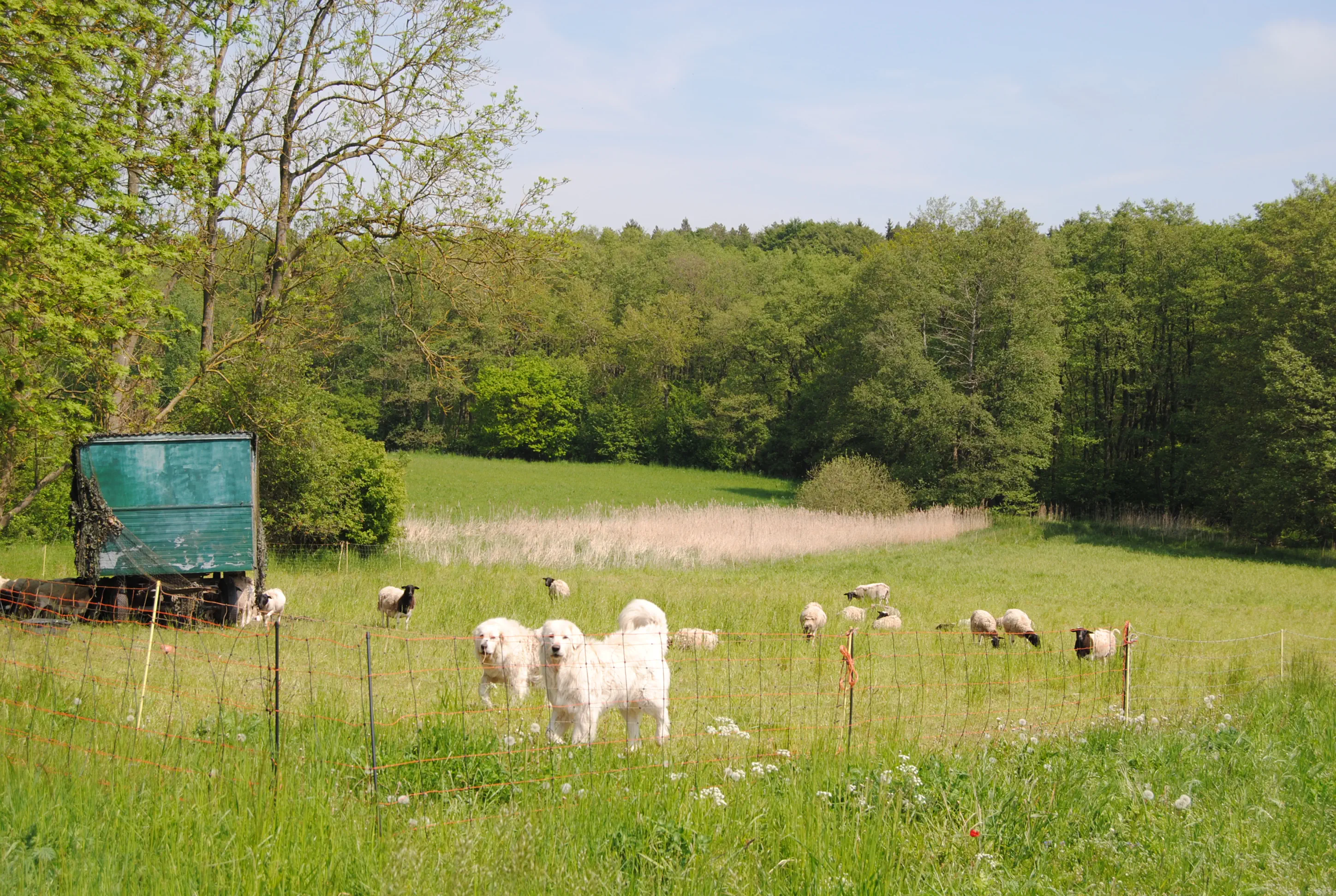
The sandy path with clay particles runs along the plain of the beautiful Recknitz Valley. The noise of traffic from the highway is quickly replaced by the sounds of skylarks and other birds. Cows and sheep graze here. Throughout the Recknitz valley, in addition to the sheep in the pastures, there are often white guard dogs, which loudly announce their readiness to defend the flock from pilgrims. There are frequent markings of the long-distance riding trail, which the Birgittenweg follows until shortly before Eickhof. After about three kilometers, the path climbs a little and forks before a forest. Here the pilgrim sign points up to the right, over the hill, down and then, halfway up, turning left into the forest. The place is somewhat inconspicuous and therefore marked with pilgrim signs on both sides. Then over a possibly overgrown dirt road to Cammin.
St. Laurentius Church (Cammin):
Next to the fieldstone church stands a free-standing bell tower, which was only built in 1864 and renovated in 2011. The first documented mention of the church, on the other hand, can be found in a letter of indulgence from Pope Innocent VI of Avignon dated December 20, 1357. In this letter, the lack of furnishings in the newly built house of worship is lamented. It was built of field stones, some of which had been dressed. Only the window embrasures, portals and gables are made of brick. The Gothic winged altar, which dates from around 1500, is now the most valuable piece of furniture. The pulpit is baroque. The key to the church is available at the parsonage opposite.
Directions:
Continue along the village road of Cammin almost to the edge of the village. Then turn left into the cul-de-sac “Am Holzweg”. At the end of the road, a paved path leads down to a red and white barrier in the mixed forest. It is PEFC-certified and sustainably managed. There are trees of different ages and deadwood. Immediately after the barrier, turn right at the fork into “Fulger Weg”. Keeping to the direction, the pilgrimage route first leads through the forest, then along a dirt road to a cement slab path, where it turns left. Behind a residential building on the left, the path turns into a grassy path. Continue for about 300 meters on the Fern-Reitweg, then it forks and the pilgrimage route turns right. Between agricultural areas, you reach the pretty village of NeuKätwin. At a small square with a lantern, the route continues straight ahead into “Waldstraße”. Here it goes downhill on a tree-lined hollow path, with a meadow orchard on the right before the fork. The pilgrim marking is usually very good on this stage, but here the sticker is barely visible on a dented barrier: Turn right into the forest. At the next fork in the forest, turn left. A red and a blue arrow on a tree indicate the direction of the pilgrimage. The path leads through beech and then coniferous forest. Then continue into a smaller cul-de-sac on the left, where the pilgrim sign is on a specially placed wooden stake. Behind the forest, the path bends to the right over meadows and a small stream to the country road (L39). Now you have to cross the Recknitz, so turn left onto the cycle/footpath that runs along the road. In Laage, walk up the “Hauptstraße” on the left. Opposite the town hall, turn right into “Kirchstraße” and walk down to Laage church.
Lutheran Church (Laage):
The choir of the town church of Laage dates from the 13th century. At the beginning of the 14th century, a nave was added and in the 15th century the massive tower was added. The church was severely damaged during the great town fire of 1569 and during the Thirty Years' War. The reconstruction is dated to the years after 1663. Four large colored windows bathe the chancel in a special light. The church and parts of the interior furnishings only acquired their present appearance through extensive restorations in the 19th century. A communion cup from 1603 from a Regensburg workshop is rare and precious.
Morning Verse
Our Father in heaven causes his sun to rise on the evil and the good, and sends rain on the righteous and the unrighteous.
(Matthew 5:45)
Midday Meditation
On the road, with only a backpack, unprotected, I become aware of my dependence on nature. On the weather, the wind, the temperatures. All things that I cannot influence. I can only accept them. And yet they control me. I can rebel against them – but what good does it do?
I can accept it. But sometimes that is easier for me and sometimes more difficult. How do I learn serenity? How can I let go of what I cannot change?
Here, on the road on my pilgrimage, I have to practice it. I may practice it.
Evening Prayer
God, there are so many things I don't like. I inwardly rebel against them. My colleague at work: he gets on my nerves and yet I have to work with him.
My health: how did I deserve these limitations? There are so many things I can't change. Like the weather.
Lord, give me serenity. Serene composure. Amen.
Address and contact details for accommodation
Rheinshagen: Parish office (located directly behind the church), Kirchstraße 9, 18279 Rheinshagen, Tel. 038452 20442, rheinshagen@elkm.de, Overnight accommodation in the newly renovated vicarage barn with sleeping mat and sleeping bag, kitchen and bathroom (no shower) available, Price: A donation is requested.
Note:
There are also two supermarkets in Laage for provisions. On the way, there are only a few places to stop for refreshments just before you reach your destination (Gremmelin, Rheinshagen).
Another tip:
After heavy rainfall, the base of one underpass is flooded.
It's best to tie bags around your shoes to get to the other side without getting your feet wet.
Directions:
Walk along the long side of the church to the tower, then turn left into “Straße des Friedens” and continue straight ahead. “Straße des Friedens” then becomes “Bahnhofstraße” and swings round to the right, with the cemetery on the left. Turn left onto the footpath in front of the cemetery, then walk along the right side of the cemetery, past the chapel, to the end of the footpath. Turn right along “Schulstraße” and continue straight ahead. Pass the school building, the sports field and the daycare center (all on the left). Cross the road (B108) via a parking lot on the right and continue for 60 meters to the left. Turn right onto the paved road into the forest, where you will see a sign for pilgrims on the dead-end street sign.
The concrete road leads downhill to the railroad tracks. Immediately before the tracks, turn left over the cobblestones. Behind the DB sign “90/0” on a pole, a trail branches off to the left. It curves to the right and leads to a tunnel that runs under the tracks. On the left side, the flat Pludderbach flows, on the right side there is a cement base for running. After heavy rainfall, the base is flooded. Now the two plastic bags come into play.
Possible alternative route if this tunnel cannot be crossed:
Then follow the cobblestone road, later a farm track, always parallel to the railroad tracks. At the beginning of the forest, take the right fork. After leaving the forest, continue to the left of the railroad embankment. When the road turns 90 degrees to the left, a path branches off to the right, leading to another tunnel (2, at Subzin). If you take this path, you have to cross a meadow and a hill slightly diagonally to the left behind the tunnel (2) to get to the hiking trail to Lies sow. There you then go left along.
The path behind the tunnel soon comes to a two-lane dirt road, which you follow to the left to Liessow. Initially running parallel to the railroad tracks, the path then swings to the right, becomes a sandy road, and continues to the “Breesener Chaussee” in Liessow. Turn right onto the country road and follow it over the former railroad tracks and the Recknitz River up to Liessow village square. Turn right and then after about 100 meters turn left onto Rossewitzer Weg. The wide forest road to Rossewitz can get quite busy from time to time. The large tractors can bog the road down, so it may be advisable to walk on a separate path through the thicket to the left or right to get to Rossewitz without getting your feet wet. The only baroque castle in Mecklenburg stands right by the side of the road here. It was built and converted in 1657 and 1680 and has been privately owned since 1993, when work began on its gradual restoration. The road to the castle ends in front of a gate, unless an event is taking place. In front of the castle, the route turns left onto asphalt and over hills and valleys to the village of Recknitz. The church and the cemetery surrounding it are clearly visible on the right-hand side.
Church (Recknitz):
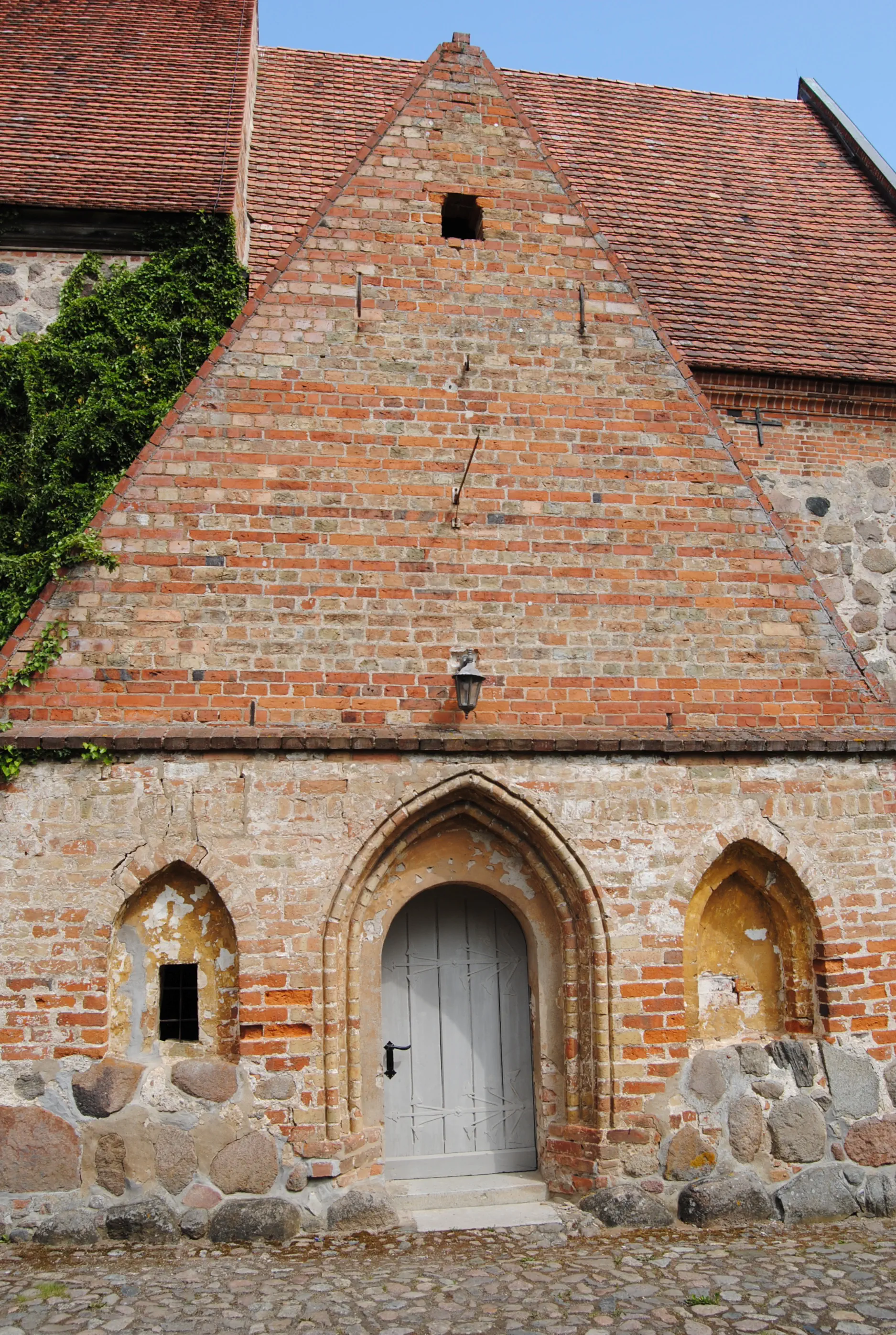
Built of fieldstones and bricks, St. Bartholomew's Church was erected in the 13th century. The recessed chancel has a very beautiful blind gable made of brick. The nave was added in the 14th century. The tower looks very fortified and has half-timbering on brick in the upper part over mixed masonry. Inside, in addition to other interesting pieces of equipment, there is a neo-Gothic altar from 1850. The old Marien altar from 1420 with the Madonna of the Crescent Moon found its place in a wall niche. In the cemetery, the beautifully designed grave chapel of the patron family Buch stands out. During renovation work, which is currently (11/2019) ongoing, it is planned to add a kitchenette to the choir, and there is already a toilet in the vestibule. Since the rectory is no longer in the possession of the church, there is otherwise no possibility for community life in Recknitz.
Directions:
When leaving the church grounds, there is a brick building opposite, on the left with two tall brick gates. Today in municipal ownership, the former smithy is used as a meeting place. Shortly after the war, the future writer Uwe Johnson (1934-1984) lived here with his mother. Born in Cammin, he attended high school in Güstrow while living in Recknitz. At the age of 25, he fled from the GDR to West Berlin, later moving to Sheernesson-Sea in Great Britain. He wrote, among other things, “Speculation about Jacob” and his novel cycle “Anniversaries” was made into a film. He is considered one of the most important Mecklenburg authors of the post-war period.
Turn right in front of the Recknitz church and continue for about 150 meters until you reach the sign marking the end of the town, where “Güstrow 15 km” is indicated. Do not continue straight ahead here, but turn left onto a smooth trackway, at the beginning of which a sign prohibits the passage of vehicles over 20 tons. Follow this road straight ahead. At a fork in the road, the plates only continue to the left and right, but the Birgittenweg – marked with a scallop shell – leads straight ahead into the forest. The path winds downhill through the forest to the Recknitztal cider factory in Zapkendorf. Turn left onto Dorfstraße and after about 100 meters turn right and go steeply up the hill past residential houses. On asphalt to the end of Zapkendorf, then flanked by old oaks and ash trees on a gravel avenue through the fields towards Mierendorf. Through a wind farm (a sign indicates freezing rain), over the country road (L14) and over an ungated railroad crossing. The beautiful, quiet path continues straight ahead to Mierendorf. The long village radiates rural idyll with its cottage gardens and half-timbered houses. At the village pond, turn right towards Kussow. The paths to Kussow and Gremmelin only separate at the farm track. According to the signpost, the path now branches off to the left and continues through Mecklenburg's hilly landscape until Gremmelin is reached after a right-hand bend. If you want to stop for a bite to eat, turn right to Gremmelin Manor (Gremmelin Manor, Restaurant and Bio Hotel, Am Hofsee 33, 18279 Gremmelin, Tel. 038452 5110).
Continue in the opposite direction: follow the village road “Am Hofsee” to the left, then after about 300 meters turn left into “Gremmeliner Lindenstraße”. There is no sign here, but this road leads to Rheinshagen. In any case, the village is worth a visit. It is located, although not far from the highway, yet idyllic, in a hollow with a lake. On the corner in front of the church is a restaurant run by a club: Alte Ausspanne Rheinshagen, village shop and café, possibly only open on weekends from 1 p.m., phone 038452 20025, verein2018@denkmalpfleger-heinshagen.de. The half-timbered house was built in 1780. The horses of the stagecoaches were changed here.
Church (Rheinshagen):
The early Gothic brick church was probably built from 1270 onwards and was able to be restored in the 1990s thanks to many donations. The interior features a Gothic altar, among other things, in whose right-hand wing James is depicted with a pilgrim's staff and a shell as a carving. The Renaissance pulpit and the late Baroque organ are also worth seeing. The rectory is located directly behind the church, where a key and a place to sleep are available in the pilgrim accommodation.
Morning Verse
What you have given me for my life is like a fertile field, which makes me happy. Yes, you have given me a beautiful inheritance!
(Psalm 16:5)
Midday Meditation
We are rich in Germany. I have received a lot in my life. I live on fertile land. I have a good living “given to me for my life”. More than I need. Enough to be happy.
I have become accustomed to many things – I am spoiled. To perceive the good around me makes me happy. And grateful.
I am aware of what I have and give thanks for it.
Evening Prayer
Thanking God makes me happy. I want to be happy. So I thank you for everything I have received. I thank you for everything I can enjoy for free – gratis. Thank you – Gratias! Amen.

Hike from Rheinshagen to Güstrow: The route passes through a former military area and is partly wild and idyllic, partly a little eerie. Shortly before Güstrow, there is a magical path along the course of the Nebel river.
Starting point: Rheinshagen
Destination: Güstrow
Length and time: 13 km, 4 hours
Address and contact details for accommodation
Güstrow: Pilgrim hostel in the Catholic parish of the Assumption, Grüne Straße 23–25, 18273 Güstrow, Tel. 03843 72360 (parish office Mon, Tue, Thu, Fri 8–12, Thursdays also 2–5 p.m., otherwise there is an answering machine and a display case with further contact persons who have a key), guestrow@katholischmv.de, overnight stay on a sleeping mat and with a sleeping bag, kitchen and bath/shower available, price: €5 per person
Directions:
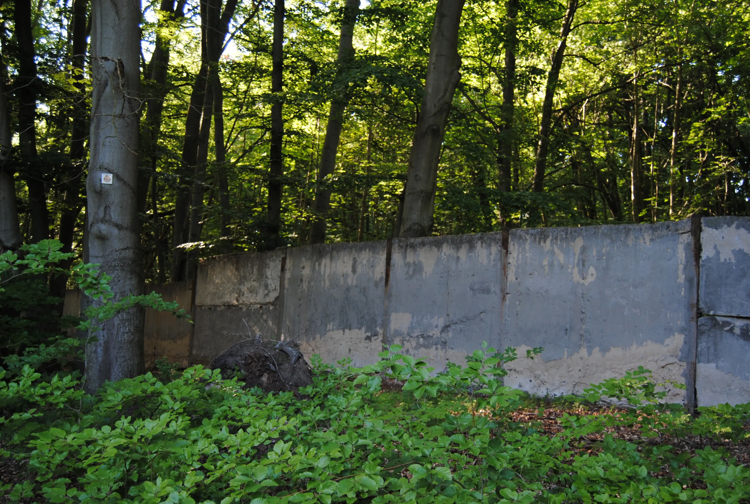
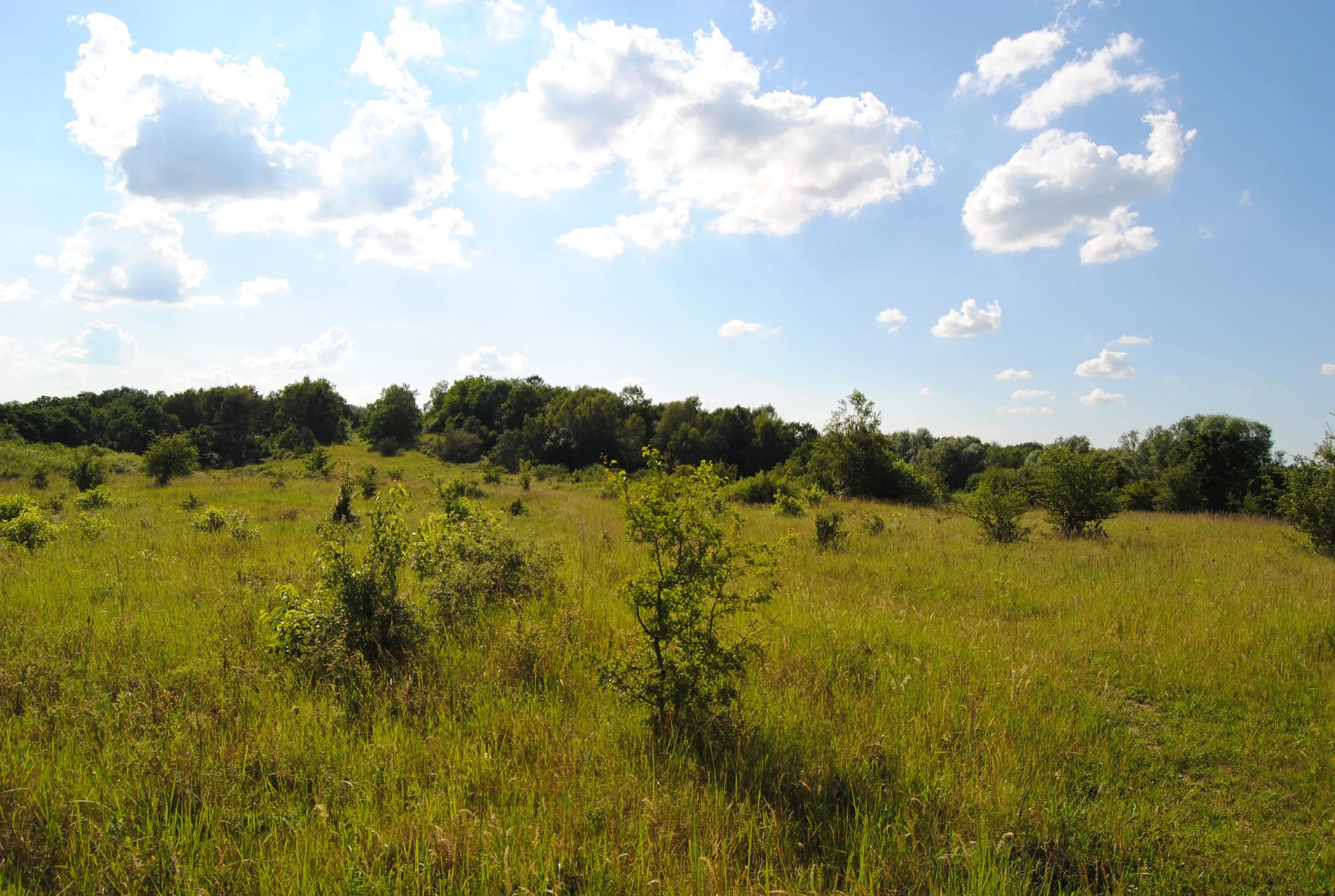
From Rheinshagen, the route first goes back to Gremmelin. Now, at the end of Gremmelin's “Lindenstraße”, turn left and follow the street “Am Hofsee” out of the village. At an abandoned farm building, a yellow arrow points to the right down to the lake shore. Here you can take a break for a swim. The path continues on a paved path that leads to a bridge over the A19 motorway. Behind it, the road soon ends and a “Betreten verboten” (no trespassing) sign indicates that the area was a military training ground for a long time, first by the Nazis, then by the Soviets and finally by the NVA (National People's Army), the military of the German Democratic Republic. According to the Güstrow city administration, in whose jurisdiction this area lies, ammunition is not scattered everywhere, but only at certain training areas. However, it is advisable to stay on the path and, if you get lost and find yourself standing in tall grass, turn around as quickly as possible. Quads (four-wheeled off-road motorcycles) also use the pilgrimage route, so old ammunition can probably be ruled out here. However, no one can give you a guarantee because the area has not been cleared. In addition, the markings for the pilgrimage route are repeatedly removed. Nevertheless, it is easy to find the way: to the left of the red and white barrier, a trail winds its way into the terrain. At first, it goes parallel to the highway for 180 meters over a hill, first up, then down. On the next hilltop, a path branches off to the left, the further course of which is clearly visible and disappears between some trees (see photo for fork in the road). Here you follow the path to the left. From now until the cement slab wall over four kilometers, it is basically just a straight shot. You can check whether you are on the right path by observing the following: the path initially goes over many small hills. In some dips, caused by the quads, it is muddy. A small wooden crossing leads over a dip. Then it goes into a forest that is initially sparse. In the forest, partially fallen trees block the way. On the trunk of a still healthy tree, there is a small sign with a “1” on it. The fallen trees behind it can be bypassed on the left and you don't have to go up the steep incline on the right. The base of a collapsed house is still standing, with bricks scattered around it. The path straight ahead seems to end in the thicket behind it. You can go around it on the left again, and then return to the path. Continue straight ahead across a clearing. In some places, the cobblestones can now be seen on the forest path. Then a fenced-off plantation begins on the right-hand side. In the second clearing, there is a section of cement slab path, an overgrown pile of building materials on the right and a raised hide. The pilgrimage route continues straight ahead on the forest path with the partially visible cobblestones. After 300 meters, the aforementioned cement slab wall begins on the right. The pilgrimage route also branches off to the right behind the wall and continues along the wall through the forest. There is a sign for pilgrims at this turnoff. The remains of the building on the left are from the army munitions factory. The iron gate blocking the way can be bypassed by swinging it to the right a few meters in advance. Continue straight ahead for another two kilometers until two benches on the left with the name “Zum Steinsitz” invite you to take a break. Here the military area is now behind you. Then bear right in the direction of “Primerburg” and continue straight ahead. Pass a barrier, a parking lot and some houses and finally cross the Augraben waterway. Then the road “Zum Steinsitz” meets the country road. Here the pilgrimage route leads left over the railroad tracks and further on the country road with little traffic through an industrial area and past the Mecklenburg-Vorpommern wildlife park. At the crossroads, turn left onto the foot/cycle path that runs along the road (B103). Shortly before the large traffic light intersection, directly behind the bridge over the Nebel river, cross the road and go over a gravel parking lot and then along the riverbank. The Nebel remains on the right side. It is a tranquil footpath directly into the old town of Güstrow. Do not cross the wooden bridge, even if pilgrim signs suggest it. After a weir, the river and path turn left, with the railroad tracks behind them. At the end of this beautiful path, turn right along the road, under a bridge with a coat of arms on it. Turn left across a parking lot to reach the old town, where St. Mary's Church, the cathedral and the castle are located. To get to the Catholic church and pilgrims' hostel, go via “Hollstraße” to St. Mary's Church. Turn right into Domstraße and follow this street straight ahead through the pedestrian zone to the end. A connecting road leads over the main road (B104) and into Feldstraße. There, take the second road on the right, Tivolistraße, and at the end of this road, turn right into Grüne Straße. The Catholic parish is located on the left side of the street. In addition to the modern Catholic church, the Güstrow Cathedral, the Güstrow Castle and the Protestant parish church of St. Marien are also worth seeing.
Catholic Church of the Assumption (Güstrow):
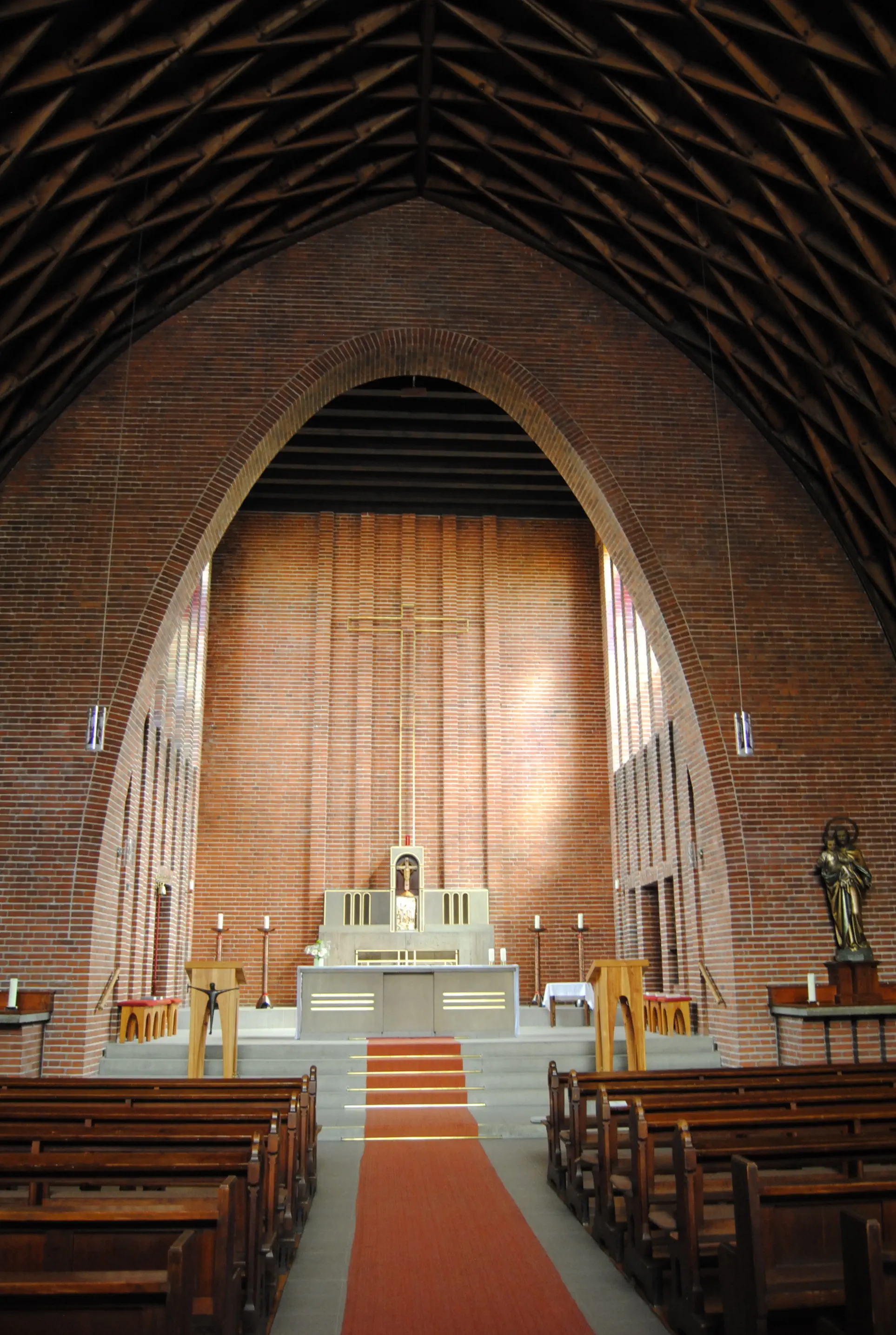
Plans for this church date from 1914. Delayed by the First World War, the church was finally completed in 1928. The architect in charge was Paul Korff, an apprentice of Gotthilf Ludwig Möckel from Doberan. The construction was complicated by the boggy ground. The spatial impression is remarkable, with the interior design reminiscent of an upturned ship's hull and the lamella roof of this modern church.
Morning Verse
But Mary kept all these things, pondering them in her heart.
(Luke 2:19)
Midday Meditation
There are many things I do not understand: experiences, encounters, illnesses. I am tormented by the question, why? – Why, God, do you allow this? Why me? Why to me?
When I get stuck, I try to take an example from the inner attitude of Mary, Jesus' mother. She listens, waits, reflects, prays and conceives. She does not become hard or demanding. Not accusing. Her quiet manner is full of strength and without resignation. Strength that is given to her because she makes herself available. Were the answers always given to her?
Evening Dialogue
Hail Mary, full of grace, the Lord is with you. You are blessed among women and blessed is the fruit of your womb, Jesus.
(Beginning of the Hail Mary)

Hike from Güstrow to Bützow: A leisurely hike along one side of the canal. On the right bank, the path moves away from the canal and leads through the village of Zepelin. The family whose member invented the famous airship comes from here.
Starting point: Güstrow
Destination: Bützow
Length and time: 15 km, 5 hours
Address and contact details for accommodation
Bützow: Catholic Parish of Bützow, Bahnhofstraße 34, 18246 Bützow, Tel. 038461 2958, katholisch-mv.de/kirche-st-antonius-buetzow, Overnight stay with sleeping mat and sleeping bag (an emergency bed is available), bathroom with shower, kitchen, price: a donation is requested.
Bützow (already on the way to Rühn): Pension Seehof, Seehof 13, 18246 Rühn, Tel. 038461 52872, seehof-ruehn.de, Prices: single room 43 €, double room 57 € for one night, holiday room with kitchen from two nights from 20 € p.p. and night
Directions:
When you leave the Catholic parish gate, turn right and continue to the next street, then turn left into Tivolistraße, which does not have a street sign at this end. At the next intersection, turn right into Feldstraße. The wide sidewalk is paved in red, because this route is also the long-distance cycle route Hamburg-Rügen and Berlin-Copenhagen. “Feldstraße” becomes ‘Ulrichsplatz’, then, keeping the same direction, ‘Heideweg’. A good and affordable lunch is available at the Güstrower Bildungshaus, Neukruger Str. 1, 18273 Güstrow, Tel. 03843 6995533, bildungshaus-mv.de.
Continue past the Netto (on the right) and famila (on the left) supermarkets. At the fork in the road, follow the “Parumer Weg” on the right. After another 650 meters, at the Güstrow city limits sign, the Birgittenweg branches off to the right behind the “rebus Regionalbus” premises onto a footpath. After reaching the Bützow-Güstrow Canal, the path makes a large turn to the left and now continues parallel to the water. Lined by black alders on both sides, the path and canal lead about 1.5 kilometers to a bascule bridge.
Left of the canal:
The pilgrimage route now continues straight ahead on the paved path, leaving the canal on the right. The unmarked side route stays close to the canal on the left bank. In the distance, the Nebel river meanders through the valley. It was renatured in 2011 to 2015, a weir was removed and a fish ladder was installed. The paved path, used mainly by cyclists and hikers, eventually moves away from the canal and leads through the Zepeliner Holz forest to Bützow. After crossing the river, turn right and go through Nebeltal Street, which leads to Wolker Chaussee. At the end of Wolker Chaussee, turn left onto Schwaaner Street. The road crosses the tracks and continues straight ahead to become Bahnhof Street. After about 100 meters, you will reach the Catholic parish office and the Church of St. Anthony on the right-hand side.
Right from the canal:
It is shadier on the natural path to the right of the water. In this case, you have to cross the bascule bridge, leaving the canal on your left. Behind the next bascule bridge near Klein Schwiesow, the path to the right of the canal becomes the marked Birgittenweg anyway. In Klein Schwiesow, cross the railroad tracks and then turn left at the next opportunity. The paved path is only open to agricultural traffic. A light forest grows on the left, arable land on the right. On the paved path, it goes past the “Schiefer Berg” (28 m high), close to the railroad tracks. While the paved path turns to the right, the pilgrimage route continues straight ahead, unpaved, past an old train station building “W1” and into the forest.
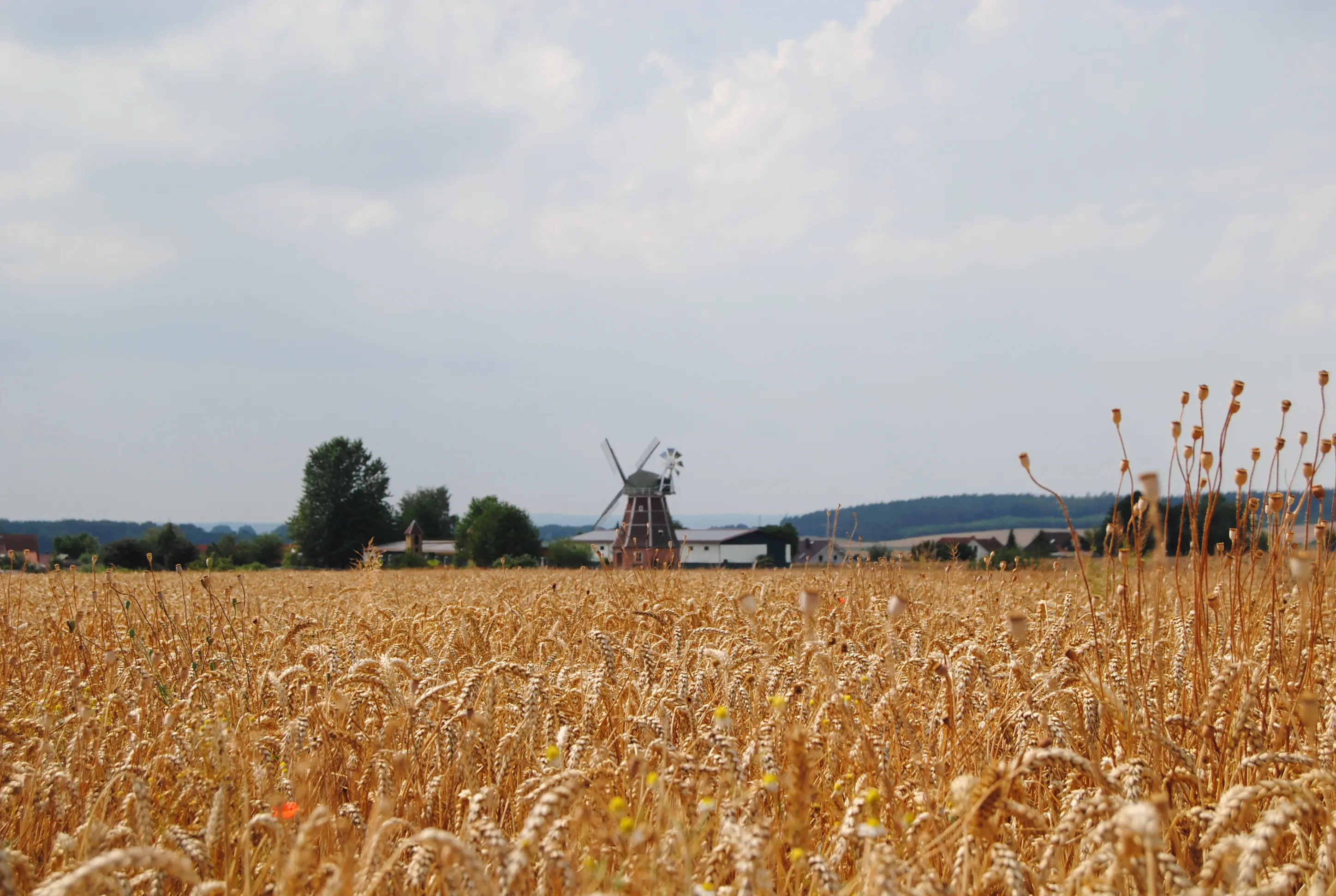
Here you go straight ahead over a few hills and a low-lying stream. At the fork behind it, a yellow arrow on a tree trunk points to the left. At the next fork in the road - on the left side there is a bent tree stump and an old root in close unity - the Birgittenweg leads down to the left without a mark. Soon the path leaves the forest and crosses fields. On the left you can see the landmark of Zepelin: the Sandra post mill, built around 1890. In Zepelin, continue straight ahead, then turn left at the crossroads, past a 14th-century half-timbered chapel with a cemetery and beautiful farmhouses. At a memorial stone for the victims of the First and Second World Wars from the village, continue straight ahead on the “Hauptstraße”, which becomes an unpaved path shortly before the level crossing. Behind the ungated level crossing, the path goes into a mixed forest, into the “Zepeliner Holz”. Turn right here and then continue straight ahead. The memorial to the Zeppelin family, from which Ferdinand von Zeppelin (1838-1917), the inventor of the airship of the same name, emerged, is hidden on the right. Farmers from 24 farms donated boulders from their fields, which form a semicircle around the monument. Benches invite you to linger.
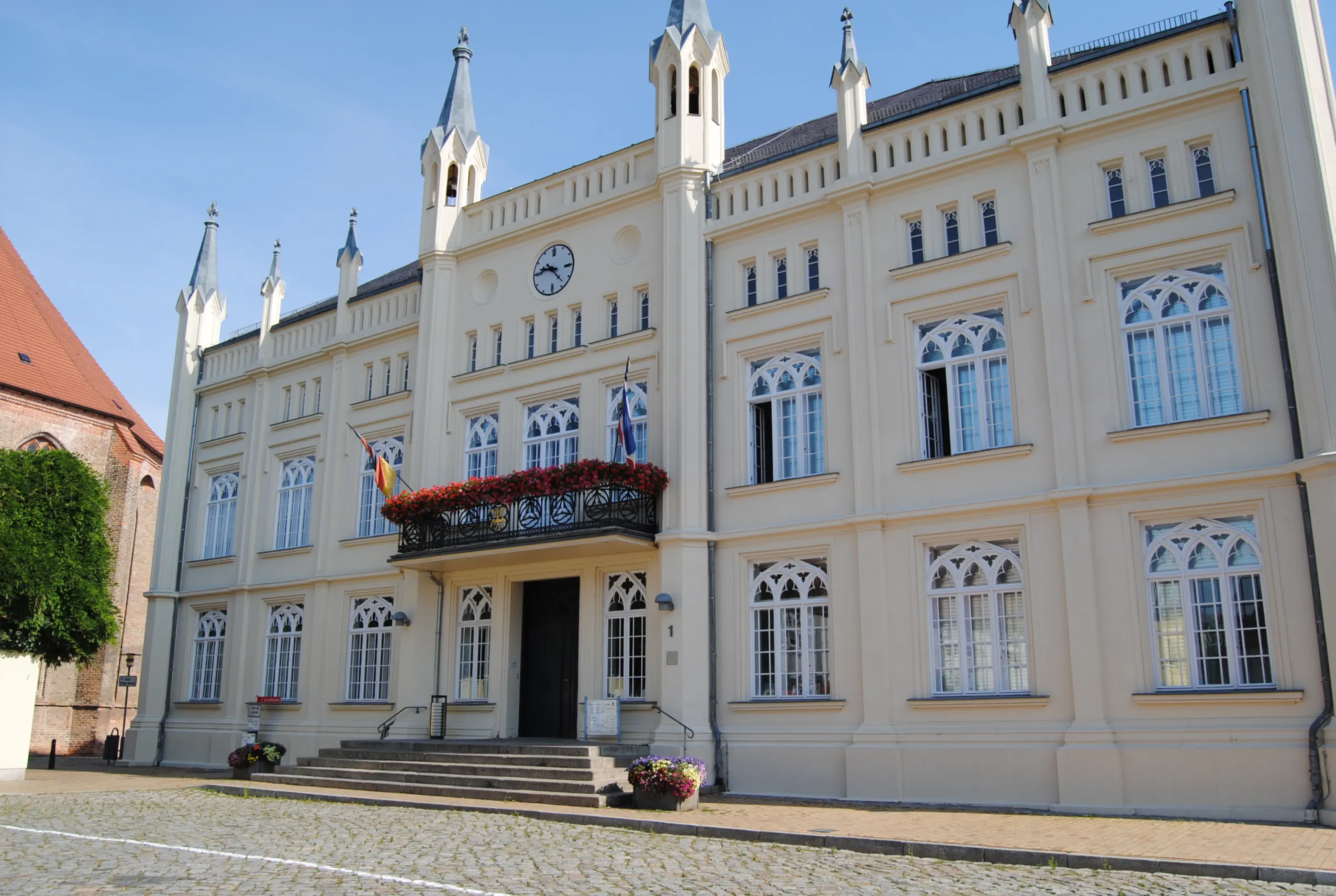
Back on the forest road, continue straight ahead to the Bützow-Güstrow Canal. Now the route leads along the canal through the edge of the forest. The Nebel flows into the canal, which now carries more water. A few houses in the village of Wolken line the route on the right. Before the canal bridge for cars, the route goes up to the right, then left on “Schwaaner Straße” over the bridge. The road crosses the tracks and continues straight ahead to become “Bahnhofstraße”. After about 100 meters, you will reach the Catholic rectory and the Church of St. Anthony on the right-hand side. The town center and the Lidl supermarket are located further along Bahnhofstraße and Langenstraße. In Bützow, you can visit the Protestant church, the town hall, built in the Tudor style in 1849, and the castle from the outside.
Collegiate Church of St. Mary, St. John and
St. Elizabeth (Bützow):
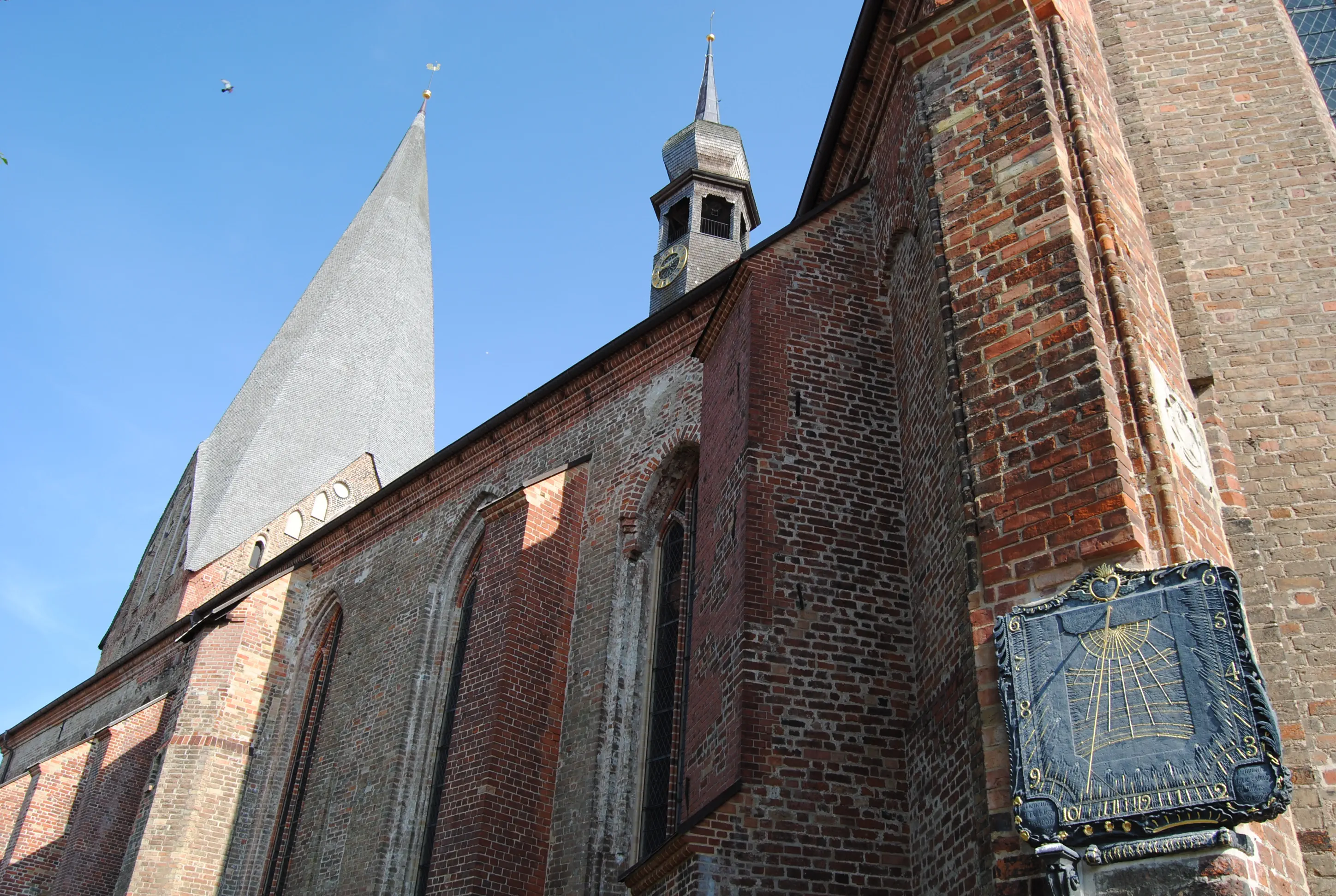
The traditional pilgrimage church was built in the Baroque style in the 13th century as a bishop's seat. The tower is 73 meters high. A relief sculpture of St. Jacobus, the late Gothic Marienaltar (1503), and the pulpit (1617), which is decorated with magnificent carvings, are well worth seeing. However, the church is currently (2019) closed. In May 2015, a tornado with 342 km/h swept through Bützow and devastated the small town. Among other things, it uncovered the church roof and gave the tower a twist. The roof has since been repaired, but the steeple has been irrevocably crooked ever since. The rectory is located at Kirchenstraße 4, tel. 038461 2888, buetzow@elkm.de.
Morning Prayer
A ruler who governs justly and reverences God is like the morning sun that shines in a cloudless sky after rain: under its warm rays, plants sprout from the earth.
(based on 2 Samuel 23:3-4)
Midday Meditation
I have heard the news and I am furious. So much oppression, so much misery, so much lining their own pockets. What is the measure of those in power? Of business leaders, of politicians? What is my measure when I deal with people who depend on me?
Evening Prayer
Lord, today I have come into my own. I have received everything I needed to live. Thank you. Amen.
Address and contact details for accommodation
Baumgarten: Pilgrim hostel in the Baumgarten vicarage, Poststraße 50, 18246 Baumgarten, Tel. 038462 22223, kirche-baumgarten.de, overnight accommodation in bed, kitchen and shower available, price: €12 per person, bedding €3
Note:
In Bützow, the last supermarkets are located directly on the route to Brüel (after Tempzin), with Penny and the Aldi and Edeka stores behind it (all on Wismarschen Straße).
Directions:
From the Catholic parish grounds, turn right along “Bahnhofstraße”, continue along “Langestraße” through the center of Bützow. Passing the castle, the Penny supermarket is located directly behind a traffic light intersection. Birgittenweg turns left at this intersection into the street “Am Forsthof”. Here, pass the grounds of the Warnow Clinic and then turn right at the next opportunity into “Rühner Landweg”. On this road, past apartment buildings and some newer single-family homes, continue straight ahead. Behind the “Haus am Langen See” nursing home, the road leads into a wide, hedge-lined path through the “Zur Eiche” allotment garden. This path continues through the fields, past the “Pension Seehof”. About 100 meters behind it, a path branches off to the right of the track, a yellow arrow on the tree trunk points the Way of St. James. On a pure foot and bike path, it goes along the shore of the Rühner See through meadows and fields to the village of Rühn. From the country road, the pilgrimage route leads to the right into “Bützower Straße”, then right again into “Amtsstraße”. During the summer months, food and drinks are available during the day at the Klosterschänke restaurant and a small farm shop (Klosterschänke, Klosterverein Rühn e.V., Klosterhof 1, 18246 Rühn, Tel. 0172 9302822, www.klosterverein-ruehn.de). The key to the very worthwhile monastery church is also available at the tavern.
Rühn Monastery (Rühn):
The land for the convent was donated by the lords of Rostock in 1232. In 1233, Bishop Brunward of Schwerin founded a convent whose first nuns' convent became a Benedictine monastery for nuns under the rule of the Benedictine nuns decreed by the archbishop. After the Reformation, the monastery was converted into a Protestant ladies' convent and the first girls' school in Mecklenburg.
In the 19th century, the convent belonged to various noble families. From 1905, the convent was a girls' recovery home for ten years, then it became a hotel pension. During the Nazi era, the convent was first supposed to become a sanatorium, but then the conversion plans were abandoned and the Reich Labor Service moved into the buildings. After the Second World War, refugees and resettlers initially lived here, then it was used as a youth work court from the 1950s until reunification. After various sales in the 1990s, the Rühn Monastery Association was founded in 2008 and began the preservation and renovation work in line with the preservation order. The single-naved hall church is administered by the Protestant Church. It displays late Romanesque stylistic elements, executed in brick. Inside, there is the main altar from 1587, as well as several epitaphs and gravestones of abbesses and dominae.
Directions:
Opposite the entrance to the tavern is a utility building with “Ölmühle” (oil mill) written on it. In front of this house is the start of “Parkweg”, a tree-lined path that leads to “Bützower Straße”. Turn left here and continue straight ahead until you reach a rest area with an information board. Behind it is the cemetery. At the fork, turn right into Zollende Street. After about 300 meters, the road turns right again to Zum Kronsberg Street. Soon the asphalt gives way to a natural path, and a bridge spans the Seebach. Passing meadows and fields, take the right-hand fork at the fork with an overgrown bench. In the coniferous forest (passing a green-and-white barrier), continue straight ahead over sandy ground. Behind the eight-meter-high Kronsberg, the forest changes, now consisting mainly of deciduous trees. There is an unmarked crossroads here. While the path straight ahead makes a left turn and ends up in meadows, the path to the right continues through the forest. But the confusion doesn't stop there: later, on a slight incline, directly behind a small stream, a bright yellow arrow, sprayed on a “carved” pine tree, suggests turning right. On a trunk behind it, also in yellow, is written “5.8”. Ignore this hint, the Birgittenweg continues straight ahead! Finally, after a total of eleven kilometers (from Bützow), the path leads out of the forest (red and white turnpike, quite overgrown) and winds through the meadows, with pine trees on the right. Diagonally to the left are some of the higher-lying houses in the village of Warnow. After half a kilometer, the road forks, with a right turn leading to Baumgarten. It crosses a moat and finally the road (called “Wiesenweg” from the beginning of the settlement) climbs 40 meters in three stages. The first courtyards and houses line the road, which then leads into Baumgarten on asphalt. At the crossroads, where the “Alte Molkerei” gallery is on the right-hand corner, turn right into “Lindenstraße”. About 100 meters further on, the cobbled “Poststraße” branches off to the left. The church is on the right-hand side, the parsonage a little further up on the left. Unfortunately, the café behind the church is closed (as of summer 2019).
Church (Baumgarten):
The squat fieldstone church in Baumgarten was built around 1233. The massive tower has a half-timbered superstructure and a pyramidal roof. The porch on the south side of the choir was built in the 19th century, as were furnishings such as the altar and the pulpit. The old carved altar is now attached to the organ gallery.
Morning Verse
Come out, my heart, and seek joy in this dear summer season in the gifts of your God; behold the beauty of the gardens, and see how they have been decked out for me and for you.
(Paul Gerhard, EG 503,1)
Midday Meditation
The landscape is lovely. The gardens of the tranquil villages are full of flowers and fruit trees. Fertile cultural landscape. It is a joy to make a pilgrimage here. Some places seem like an ideal world. And then comes the next busy road, neglected districts, overgrown public spaces, and I know that there are also problems here, not just idyll. I walk on, blessing the people and the landscape in my mind or with gestures. Because that too is a characteristic of the pilgrim passing through. He blesses. And the blessing flows back to him.
Evening Verse
Help me and bless my spirit with blessings that flow from heaven, so that I may always flourish for you; may the summer of your grace in my soul, morning and evening, bear much fruit of faith.
(Paul Gerhard, EG 503,13)
Address and contact details for accommodation
Tempzin: Pilgrim hostel, Tempzin Monastery, An der Klosterkirche 3, 19412 Tempzin, Tel. 038483 28329, pilgerklostertempzin.de, overnight accommodation in beds, kitchen and shower available, morning service, price: €12 per person with pilgrim's pass, bedding €8, towel €3
Note:
There is a small grocery store in Warnow, 2.7 km from Birgittenweg, Warnower Dorfladen, Schmiedestraße 78a, Warnow,
Tel. 038462 33676, warnower-dorfladen.de, opening hours: Mon–Fri 7–16 (except Tue to 14 o'clock), Sat 7–11 o'clock.
Directions:
From the parsonage, turn right and go down “Poststraße”, which leads into “Lindenstraße”. Leave the village on this quiet road in the direction of Wendorf. After 1.3 kilometers, you will reach “Dorfstraße” in Wendorf. On the right-hand side, by the village pond, there is a covered resting place where you can linger. The “Dorfstraße” leads in a curve through Wendorf and then becomes the country road to Laase. The area of the Sternberger Seenland Nature Park begins on this road, with many nature reserves and various efforts to preserve the landscape. In Laase, there is a fieldstone church on the right, built around 1400, which has recently been renovated with private donations. Another covered rest area in front of the cemetery invites you to take a break. The village road forks and the pilgrimage route turns left, following the white sign for the long-distance cycle route Hamburg-Rügen towards Eickhof. Passing three long, old cattle sheds, the road soon turns into a tree-lined dirt road that passes a small lake (on the left) and leads over a hill to a fork. Here you turn left onto the sandy downhill path, which is soon lined with old trees and finally cobbled, leading to Eickhof. Immediately before the bridge over the river Warnow, the road to Eickelberg branches off to the right. With a bit of luck, you can get something to eat here: Touristenstation Naturdorf Eickhof, Dorfstraße 14, 18249 Eickhof, Tel. 038462 20419, www.naturdorf-eickhof.de, the station is open from April 1 to November 1. If you want to take a break here, there are covered rest areas on the Warnow, and the kiosk selling simple meals and snacks in the first of the three low buildings may be open.
The avenue, which is initially lined with chestnut trees and then with oak trees, leads over a hill and into the next village, Eickelberg. The brick church, built around 1400, has been saved from decay by extensive renovation. It is used by an association as an “art church” for events (www.vanuehm.de). The pilgrimage route continues fairly straight ahead through Eickelberg, past a covered resting place by the village pond, and on to Groß Labenz. Initially, it climbs a height of 23 meters up to the 83-meter-high Tempelberg on an avenue road with moderate traffic. There, benches and a magnificent view of the valley and two small lakes invite you to take a breather. Descending to a hilly mixed forest area, which is crossed straight ahead on a forest path for 1.5 kilometers. The path ends at the Groß Labenz town sign. At the sign, turn directly left onto a path (not onto the road!) past a pig fattening farm and into the forest. Between the trees on the left, you can see the Loofsee. Behind it, at the fork in the road, a yellow arrow points the way straight ahead. A hollow path now leads gently uphill for about half a kilometer. At the top, a yellow arrow erroneously (!) points to the right into a forest path, but the Birgittenweg continues straight ahead here. It only branches off slightly to the right at the next fork in the road. After another half kilometer, it first goes through a hollow path, then right: Here there is a shell plaque hanging on the left side of the tree and on the right there is an additional yellow arrow.
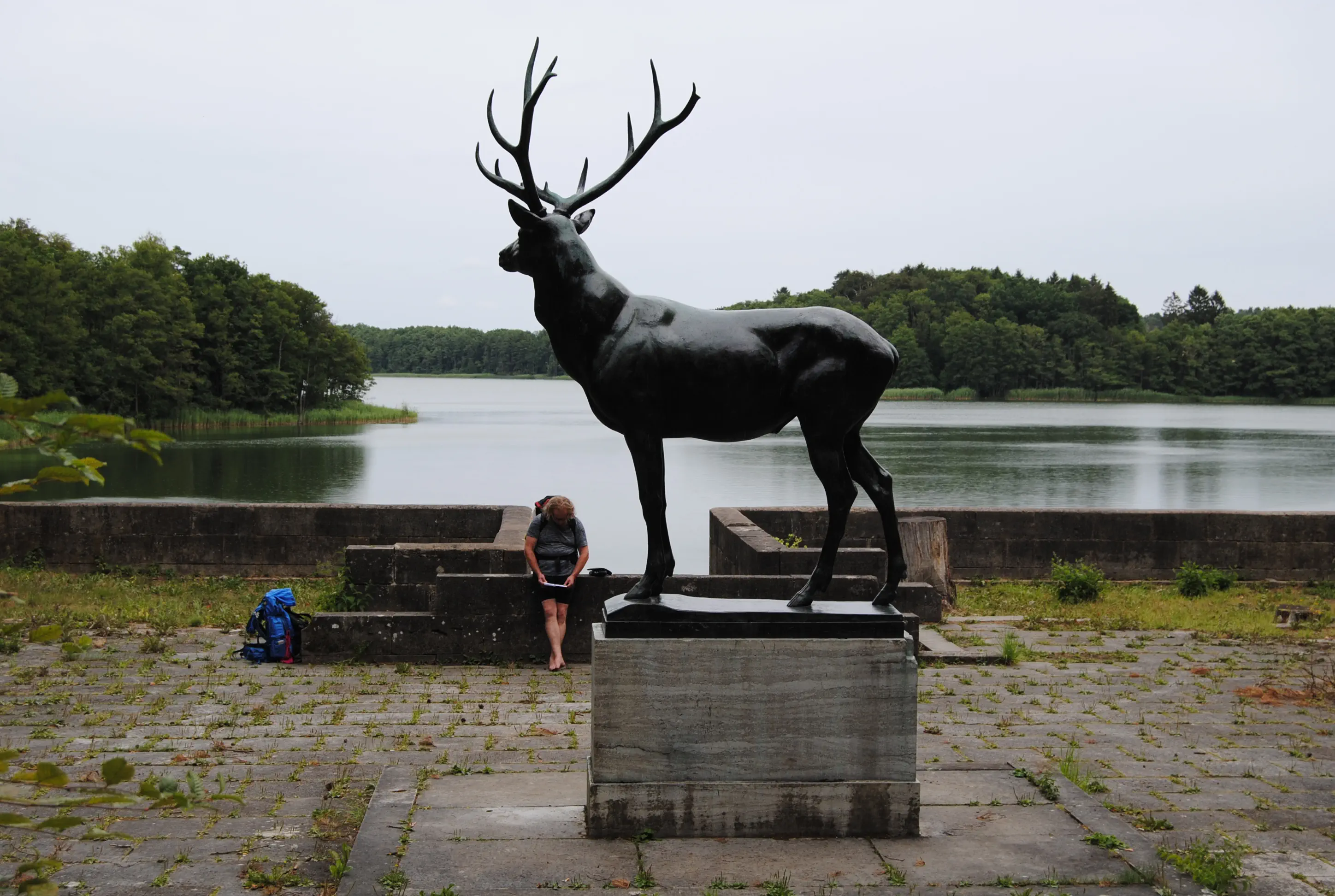
200 meters after the turnoff is the White Lake, the southern part of the Great Labenz Lake. The route now leads left along the lakeshore to the mausoleum with the bronze deer. It was erected in 1914 for the Hamburg merchant Paul Wedekind after his death. The deer was shot at during the Second World War. After repairs for damage caused by vandals, the 1000-kilo deer was stolen in 2007 and was found sawn up at a metal processing company in Schwerin. In the meantime, it has been recast and is now standing once more in front of the neoclassical mausoleum. The path across the meadow is not easy to see, as it turns left behind the mausoleum and leads up to the road in Friedrichswalde. We recommend walking up from the mausoleum along the path (with your back to the lake) and then turning right at the next opportunity onto a forest path to reach the road to Friedrichswalde.
Friedrichswalde consists of a few houses and a manor house used as a seminar house, which unfortunately has no public restaurant. The pilgrimage route remains on the village road and leads to Weiße Krug. The village center is on the right-hand side and, apart from a very beautiful row of yellow brick houses and a bathing area with a sandy bottom, the place has nothing to offer the pilgrim. The Birgittenweg leaves Weiße Krug on the right and continues straight ahead on a paved path. At the crossroads of the Am Forsthof district, the path continues straight ahead to a crossroads about half a kilometer further into the forest. Here, the well-marked European Long-Distance Hiking Trail E9A continues to the left. After about a kilometer, the path finally descends, turns into a paved path and crosses the Radebach with a bridge. After that, the path climbs again to a parking lot. The main road (B192) is within earshot.
Note:
If you want to take the train, you can take the hourly service from Blankenberg station to Schwerin or Güstrow during the day.
Directions (continued)
Behind the bridge over the Radebach, you can see the stumps of three formerly stately trees on the right. The pilgrimage path goes in front of them, initially unmarked, to the right. After a few meters, however, white-yellow-white signs appear on the trees. The path runs parallel to the main road.
Crossing the B192, the path leads deep into the forest. It goes straight on for almost three kilometers, over two dams where a train used to run. A turnoff to the left should also be ignored. Then cross the Tönnisbach on a narrow bridge and walk diagonally left across a meadow. Then continue on the left, lined by a few tall coniferous trees, through a meadow landscape. At the next crossroads, the pilgrims' path follows the sign “Tempzin 2.5 km” to the left. After crossing the gated railroad crossing, a wide sandy path leads past fields and a grove. Lake Tempzin is on the left. Following the path, the steeple of the former Antoniter monastery of Tempzin soon comes into view. After crossing the bridge over the Mühlenbach stream, the route continues up Wariner Straße. From there, turn right into the cobbled street Pflastersteinstraße “An der Klosterkirche”. After the bend on the left, you can see the church and on the right the estate manager's house, built in 1888, which now houses the pilgrims' hostel.
Tempzin Monastery (Tempzin):
The former Antonite monastery was founded in the 13th century as a hospital and daughter monastery of the Grünberg Antonites (Hessen). The order fought the so-called St. Anthony's fire, an ergot poisoning that had been occurring almost epidemically in Europe since the 9th century. The monastery owns the Warmhaus (today part of the pilgrims' monastery), a hospital building that was equipped with several large chimneys. Through donations and endowments, the property expanded as far as Wolin (now in Poland). After the Reformation, income declined sharply. In 1549, Mecklenburg converted to Lutheranism, and in 1550, the monastery was secularized by ducal decree and the church was converted into a parish church in 1589. The monastery church was built in the 15th century as a three-aisled nave with a choir. The gabled turret is comparatively graceful compared to the main building. The main altar from 1411 is now part of the medieval exhibition at Güstrow Castle. The church also contains a wooden triumphal cross from the 14th century and other furnishings from various centuries. The Liturgy of the Hours is celebrated daily in the monastery church and the monastery leadership is available for pastoral counseling and prayers. The pilgrim monastery publishes annual pilgrimage offers and the pilgrim hostel is also open for retreats.
Morning Verse
My dear fellow soldier, I hope that you are well in every way and in good health, just as your soul is well.
(3 John 1:2)
Midday Meditation
The main thing is to be healthy! – That's what we wish for our birthday. Health encompasses the whole person – body and soul. We are psychosomatic beings.
That is why illness and injury always affect the whole person. Who takes care of my soul when I am sick? Who takes care of my soul when I am healthy?
I wish to be well as a whole person, to be healthy in body and soul.
Evening Dialogue
God, here I am in this ancient church hospital. Centuries ago, people were already seeking healing and balance for body and soul here.
You created us from clay and God's breath – so it is pictorially told in the creation story.
So from the Adamah – the earth, the Adam – the human being was formed. But it is your breath, your Ruach, your Pneuma that gives us life. Both combine in the living, healthy human being.
God, I stand here in this hospital church and seek healing/balance for body and soul.
Help me! Heal me. Amen.
Address and contact details for accommodation
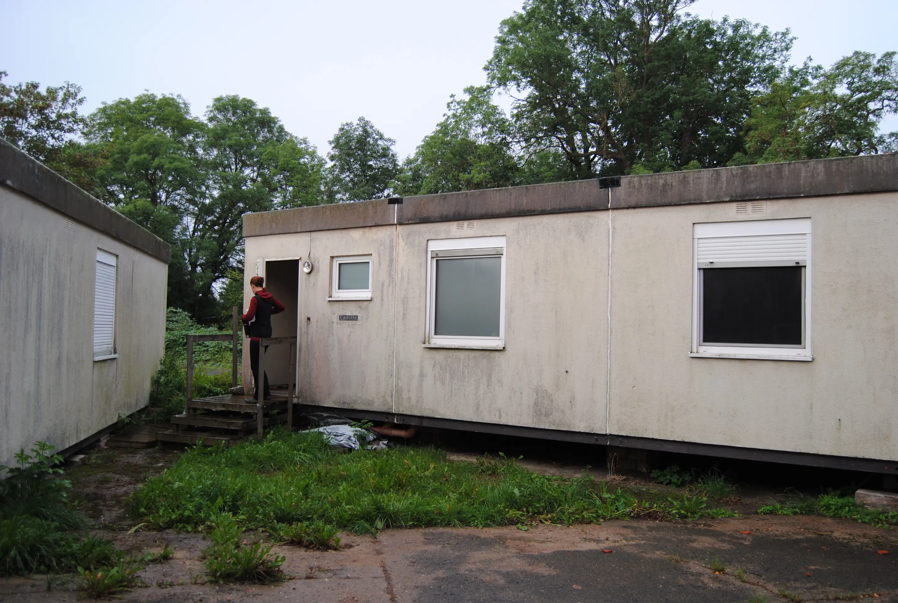
Müsselmow: Pilgrims' accommodation in Müsselmow, accommodation provided by the Müsselmow Church Association, registration for overnight stay: Mr. Dryer, tel. 0173 9001894. Overnight stay in a fully equipped container with bunk beds (bedding provided), kitchen, shower and washing machine. Price: €10 per person with pilgrim's pass. The container is located opposite the Gasthof zum Lindengarten, Dorfstraße 20, 19412 Müsselmow, Tel. 038486 33826 (Rita Berkholz). The inn offers Mecklenburg dishes and breakfast as well as a small grocery store.
Directions:
From Tempzin to Kaarz Castle, the Birgittenweg is identical to the Baltic-Central German Pilgrim Route. The Baltic-Central German Way branches off from the Via Baltica in Rostock and leads south through Mecklenburg via Tempzin Abbey and Parchim. It then continues through Brandenburg to Perleberg and Bad Wilsnack.
From the accommodation at the Tempzin monastery, turn right and leave the Gothic warm house on your right. Continue straight ahead to the village street. Turn left at the bus stop and then take a sharp right turn onto Wariner Straße to leave the village. The tree-lined country road is not very busy. It leads for 1.7 kilometers to the federal highway (B192), where it turns right, initially at the roadside, into the town of Brüel. After about 400 meters, a mowed strip for pedestrians begins on the right-hand side of the road. After the Brüel town sign, turn right into the lane “Dornstieg”, cross the Mühlenbach on a bridge and at the end of “Dornstieg” turn left along an allotment garden area. The “Alleeweg” leads to the right into “Schulstraße”. On the left-hand side, there is a Penny supermarket, a butcher and a kebab shop. If you want to see the original town church, turn left at the front of the Penny supermarket and walk back a short way along Hauptstraße.
Brüel town church (Brüel):
The place Brüel was first mentioned in 1222 in connection with the Antonite order in nearby Tempzin. Construction of the church is estimated to have begun around 1275. It was completed in several stages by the beginning of the 15th century. The construction of the nave is documented around 1373. The brick church with a rubble stone base has no steeple. It was built in the transition period from Romanesque to Gothic style. Inside, the Renaissance pulpit from 1624 with high-quality carving is noteworthy. Hermetic pilasters and figures of virtues adorn the basket, with the evangelists in between, and Renaissance ornaments adorn the sounding board. The key to the church is issued during the opening hours of the rectory in the parsonage opposite: Ernst-Thälmann-Straße 1, 19412 Brüel, Tel. 038483 20334.
Directions:
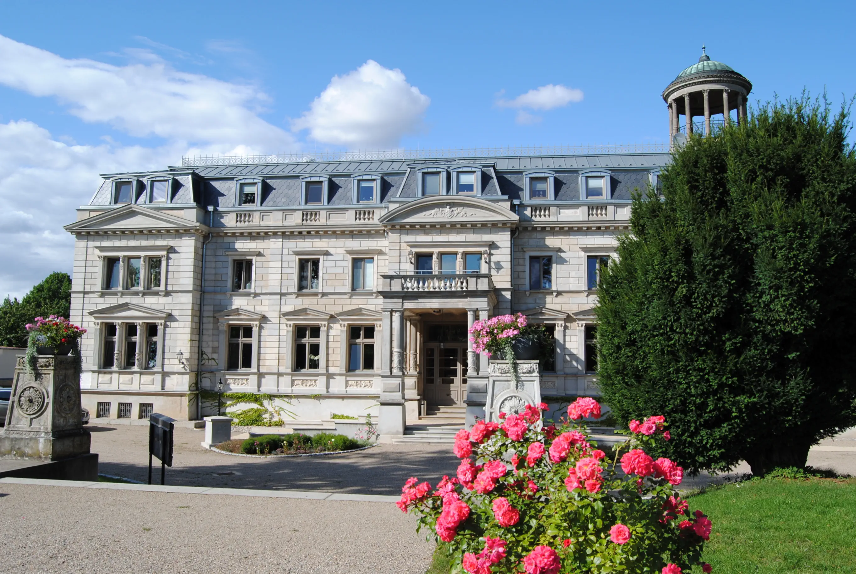
Behind the Penny supermarket, Schulstraße curves to the left past the beautiful former grammar school, a building now run by the Volkssolidarität, and then along a lakeshore (left) through a park up to Schweriner Straße. There is a pharmacy on the corner. Turn right here and follow Schweriner Straße for about 150 meters until the sign for “Weg zum Roten See” (Red Lake Trail) turns off to the left. The trail passes stately detached houses, a sports complex and finally through a forest and over the main road (B104). The clean water and the jetty with ladders and a pontoon invite you to take a break or a swim when the weather is suitable. Beyond the park (above) a path through the forest begins, a small valley separates the path from the square. After 200 meters at a signposted crossroads, turn left downhill towards Kaarz. Initially through the forest, the path becomes a hollow way. With young avenue trees on the left, it winds through the hilly landscape and offers wonderful views. In the Warnow valley, it leads back into a forest, with two steles on the left in front of the rubble of a former glassworks and old school. Soon, up the slope, you reach the area of Kaarz Castle. The large public landscape park is home to a cemetery with a chapel and a mausoleum worth seeing on the left of the path and, on the right, the castle, which has been converted into a luxury hotel, with an orchard. A café is open from Friday to Sunday, 2 p.m. to 5 p.m. Turn right onto “Dorfstraße” and continue straight ahead on the paved bike/footpath, which soon runs parallel to the road.
After about 1.5 kilometers, at a blue and white bus shelter, follow the sign for “Schönlage” to the right, into the street with the original name “Zitronenberg”. A footpath leads through the elongated village on the right side of the road. On the left is the Schönlager See with a bathing area. A few meters past a half-ruined manor house with an impressive brick gable, you will come to a small intersection with many directions. Here you go straight ahead into “Gustäveler Weg”, initially in the direction of Gustävel on the little-used country road. After about 1.7 kilometers, the paved road branches off to the right to Gustävel, while the pilgrimage route continues straight ahead on Sand. Through a forest to the country road (L09). First cross the road, then turn left onto the path in front of the low building with three-part windows and turn right at the next opportunity along the property fence. Walk across fields to Holzendorf. After a left turn on Dorfstraße, the church is on the right-hand side behind an impressive lime tree.
Village church (Holzendorf):
The village was first mentioned in a document in 1235. It was probably founded by cattle breeders from Holstein. The church is a brick building with a single nave. It is not known when it was built. In any case, the choir was not added until 1855. The church is usually open. If not, the key can be obtained from the former parsonage to the right.
Directions:
After about 250 meters, the village road of Holzendorf leads inevitably into Müsselmow, crossing meadows and a bridge. Behind the town sign, a banner points the way to the right to the Gasthof zum Lindengarten. The landlady has the key to the pilgrims' accommodation, which is only a few steps away from the inn.
Morning Thought
“If you are honest with yourself, you will realize that there is more freedom than you allow yourself."
– Author unknown
Midday Impulse
For freedom Christ has set us free! Stand firm, then, and do not let yourselves be burdened again by the yoke of slavery.
– The Bible in Galatians 5:1
What does freedom mean to me?
Evening Prayer
God, if you give me freedom, I will take it. I am worthy of living in freedom, both for myself and for you. Show me where I can let go of conventions and other people's opinions, of apparent constraints and the bossy demands of others. Give me the courage to live freely. Amen.

Hike from Müsselmow to Schwerin Cathedral: A varied stage from the countryside to the city, taking in little-used village streets, forest and (possibly damp) meadow paths, as well as promenades along the lake shore.
Starting point: Müsselmow
Destination: Schwerin Cathedral
Length and time: 26 km, 8 hours
Address and contact details for accommodation
Schwerin: Youth hostel, Waldschulweg 3, 19061 Schwerin, Tel. 0385 3260006, jugendherberge.de/mecklenburg-vorpommern, price: from €22 p.p., incl. bed linen.
Schwerin: Schweriner Rudergesellschaft, Bootshaus, Franzosenweg 21, 19061 Schwerin, schwerinerrudergesellschaft.de or via: gutenacht@schwerinerrudergesellschaft.de (Sigrun Meermann); single rooms, double rooms and rooms with multiple beds, shared shower, early registration required, price for two nights or more: from €15 per person, bed linen included.
Schwerin: Private accommodation Marie-Theres Heintze, Werderstraße 45, 19055 Schwerin, Tel. 0173 2329899. No groups!
Schwerin: Hotel Gasthof Zur guten Quelle, Schusterstraße 12, 19055 Schwerin,Tel. 03855 65985, gasthof-schwerin.de, DZ from 59 €
Directions:
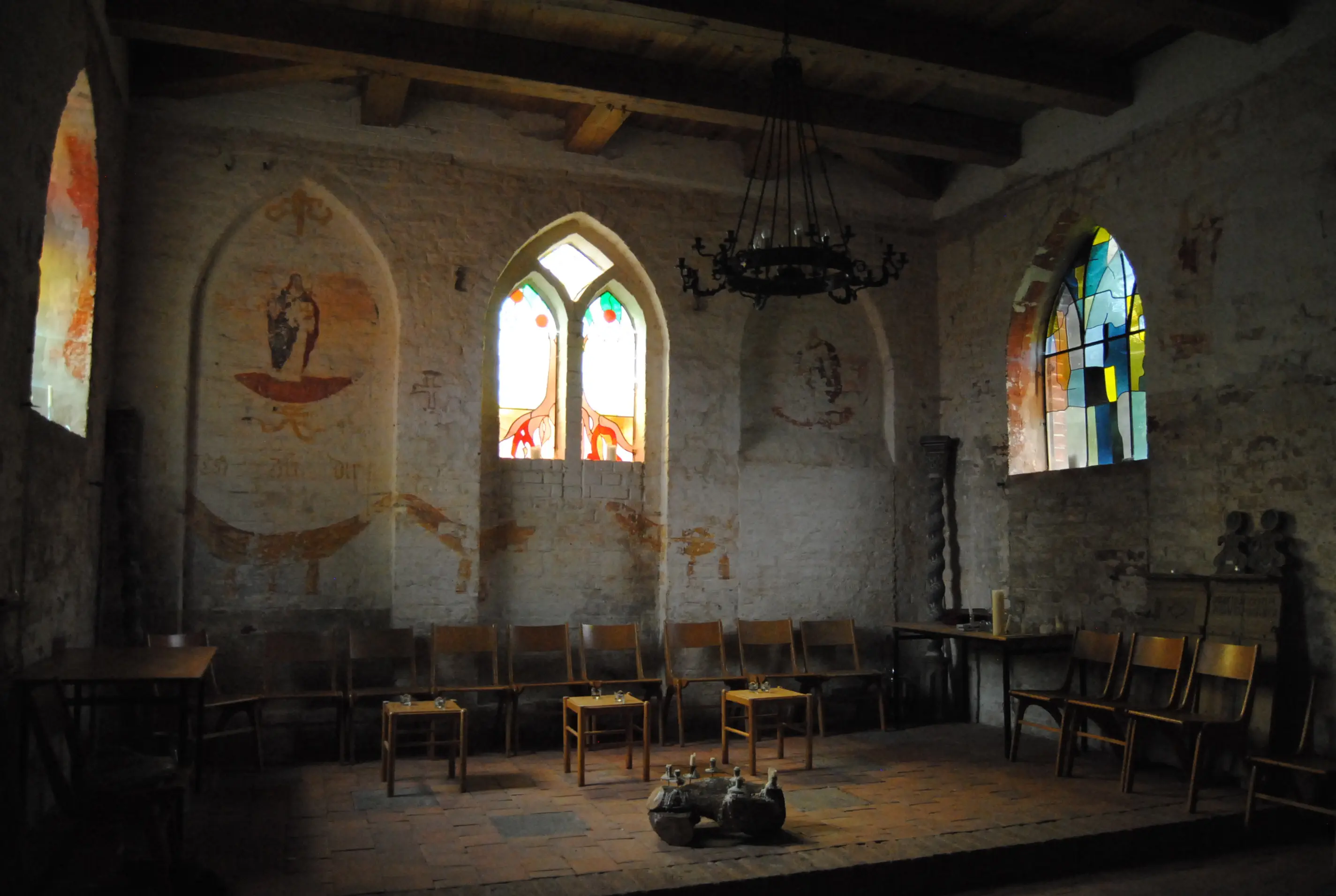
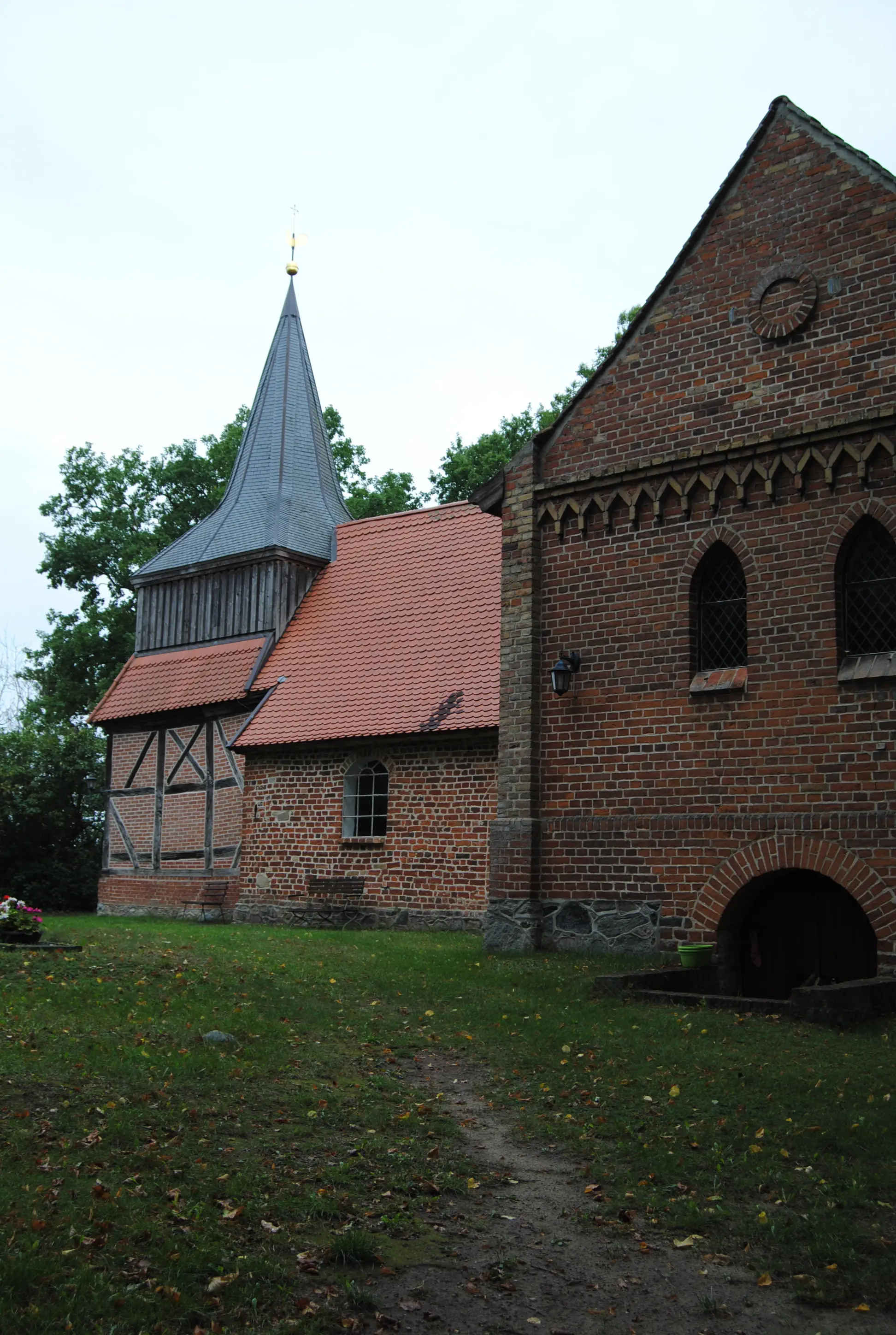
The village church of Müsselmow is located directly opposite the residential container. Built in the 15th century, it has not been used for church services since the 1950s. It is currently being used for a tango and milonga dance course (as of 9/2019). The key to the church is handed over at the Gasthof zum Lindengarten.
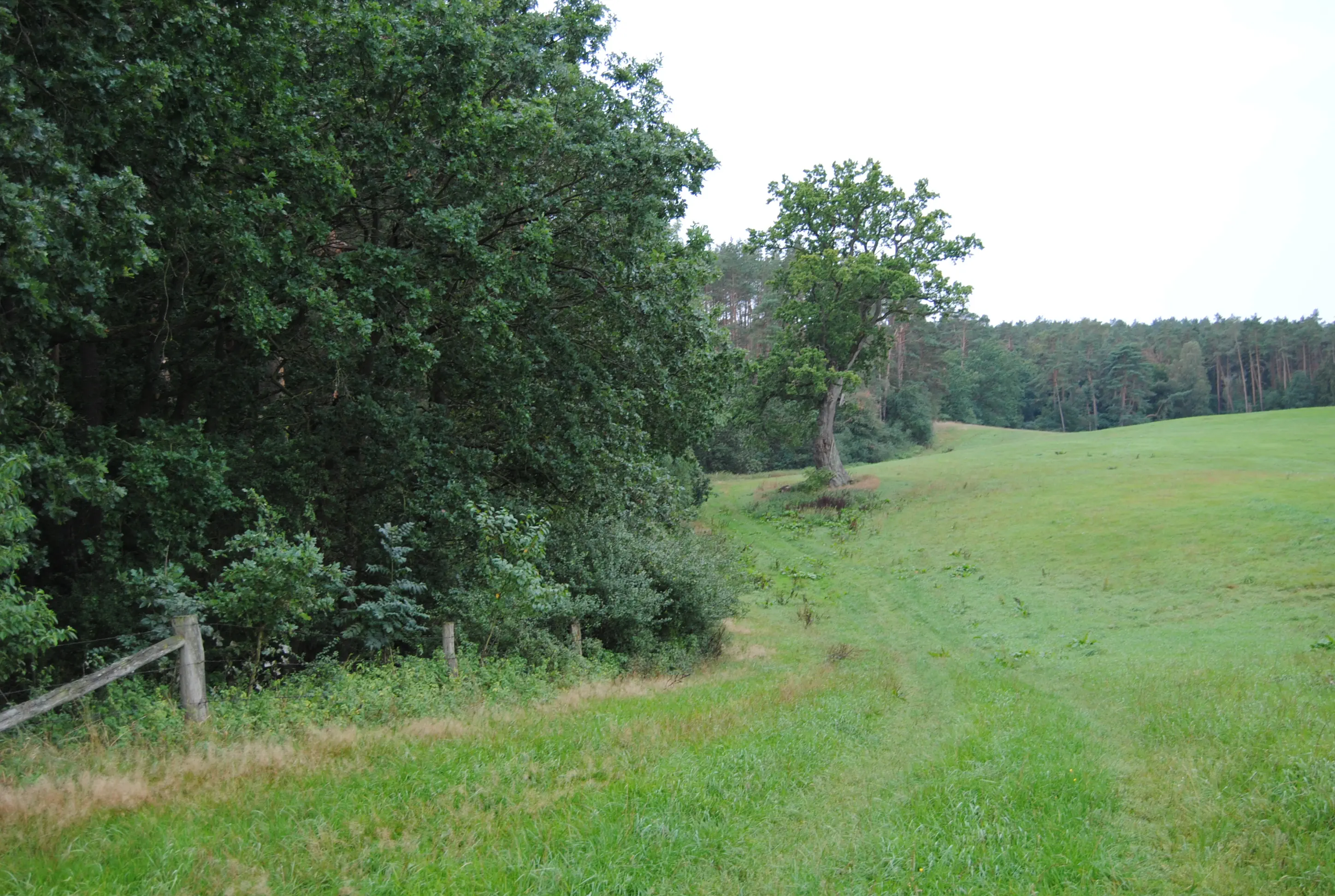
Pass the church and walk up the village road, turning left at the fork in the road and passing a striking, large half-timbered house. Behind the last houses, the road turns into a sandy dirt road and descends to a mighty oak tree on the left side of the path. Shortly before that, a path branches off to the right, climbing steadily past fields. Just before a forest, it drops off. At the fork in the road at the forest entrance, turn right and then continue straight ahead until a meadow begins on the left. Here, follow a cart track on the left, close to the fence and the edge of the forest, to a solitary oak tree (see photo). Here the path branches off to the left into the forest.
After 210 meters on the forest road, you will come to a fork in the road. Turn right here and then continue straight ahead on a grassy path that soon descends. The path leads to the forest cemetery on Uhuberg on the right, where, among other graves, there is a mausoleum for the only offspring of the Kritzow landowning family, who died in 1925. Continue downhill on the “Hauptwaldweg” and turn right to the country road. Turn right here and continue into the town of Kritzow. After 200 meters on the “Hauptstraße”, a road branches off to the left with the sign “Godern 6 km” and “Vorbeck 2 km”. On the left, overgrown mounds of earth from the construction of the golf course behind them can already be seen. Continue on the lightly trafficked road into Vorbeck.
Village church of Kambs (Vorbeck):
The church in the Kambs district is a brick church that was originally Gothic but was later largely modified with neo-Gothic and late Gothic elements. The oldest parts are the rectangular chancel and the sacristy attached to the north, which date back to 1289. The late Gothic carved altar from 1500 is particularly worth seeing. In the shrine is a Madonna surrounded by a halo, flanked on the left and right by two rows of apostles and saints. The original late Gothic pulpit from the church in Vorbeck is considered to be the oldest example of a village church pulpit and is kept in the State Museum in Schwerin. Instead, the church now has a neo-Gothic pulpit with wooden decorations.
Directions:
Birgittenweg leads from Kirchberg down to the right onto the road and then immediately right again into the street “An der Warnow”. At the edge of the village, cross the river Warnow over a bridge with a blue railing and continue straight ahead onto the country road. After 1.4 kilometers, you will reach the village of Gneven. Just behind the town sign, on the right, behind a hedge, is the small Krebssee. Behind a left-hand bend in the “Vorbecker Straße” at a 90-degree angle, the residential street “Am Hang” goes straight ahead. Follow the cycle path signs to Godern. The road bends to the right in the residential area, but is still called “Am Hang”. After that, a road branches off to the left and leads through fields and small forests to the pretty village of Neu Godern. Behind the settlement, the path branches off to the right and after about a kilometer you reach the shore of the Mühlensee in Godern. At the Inselblick Godern beach snack bar, you can enjoy environmentally friendly food and drinks, as well as rent boats, surfboards and swimming shoes. Behind the snack bar, on the right-hand side, a beautiful hiking trail begins, which runs along the wooded hillside above the lake. After a shelter and some seating along the way, there are two information boards on the “Hydrological Conditions between Lake Schwerin and Lake Pinnow” on the right. At the crossroads behind them, the route goes steeply up to the right, then parallel to the highway (A14) through the forest. About 250 meters after the crossroads, a path forks off to the right, which you ignore. Instead, turn left into the forest and then right at the next fork.
After about a kilometer of deciduous, coniferous and deciduous forest, you will reach a crossroads with a sign pointing to the right to “Raben Steinfeld 0.4 km”. After this turnoff, the forest quickly ends and the route continues along a footpath through a tunnel under the highway. In Raben Steinfeld, there are megaliths on a roundabout, with bronze ravens sitting on them. The roundabout is bypassed to the left until you reach “Querstraße”. Now in the suburbs, the gardens are smaller and there are original house facades, with patterns made of yellow and red bricks. At the end of “Querstraße”, turn left into “Kastanienallee”. Then the road swings left down to the lakeshore, where some impressive Gründerzeit villas stand. Keep left here on the street “Am See”; the shore of Lake Schwerin must appear on the right. After that, the road meets the country road “Charlottenberg”, where a directional sign points to the right “Schwerin 8.4 km” and “Schwerin Mueß 1.6 km”. Here you go up to the busy main road (B321). On the right side is the memorial plaque of the death march of the prisoners of the Sachsenhausen concentration camp. A few meters further on the right side is the bronze sculpture “The Mother” and some relief plaques.
On the bridge, the pilgrimage route crosses the Stör River and then follows the footpath downhill to the right until it reaches the street. Walk along this street, which is initially called “Mueß Ausbau” and then “Alte Crivitzer Landstraße”. There is an ice cream parlor, a restaurant and a tavern here. On the right-hand side, near the holiday village of Muess, there is an open-air museum. The “Crivitzer Landstraße” now meets the much-used “Crivitzer Chaussee”, which will also be widened this year (2019). You can reach it by following the pilgrimage markings to the right across the traffic lights. Behind the “Haus am See” (the event area of a holiday resort), turn right into the “Mueßer Bucht”. From the road, a path branches off to the right again, quickly leading into the forest. It then curves away from the lakeshore to the left. There are two turnoffs, one at a weather station, to the right only to a road that then reunites with the path shortly before Zippendorf.
Zippendorfer Bucht has a large beach and a promenade lined with beautiful houses and villas. You can take a swim here if you like. From Zippendorf, the route continues along the shore of Lake Schwerin. Behind the zoo and a playground on the left-hand side, a path leads up to the youth hostel on the left. The cathedral and the city center are still four kilometers away from the youth hostel. The “Franzosenweg”, lined with impressive houses, turns away from the shore at the “Schnitzelhaus”, but it inevitably leads to Schwerin Castle, whose turrets can be seen from afar. In front of the castle lies a magnificent baroque palace garden with many roses, archways and trees with unusual growth patterns. From the park, cross the Old Bridge to reach the castle island, passing the castle, visible from afar, on the left and cross the only bridge on this side into the old town. Go straight ahead at the traffic lights, past some imposing government and administrative buildings into the pedestrian zone. When you reach the Probstei Church of St. Anna (on your left), Marktstrasse branches off to the right. This road leads directly to Schwerin Cathedral.
Cathedral of St. Mary and St. John (Schwerin):
The cathedral is the only real cathedral (bishop's church) in Mecklenburg-Western Pomerania and the only remaining medieval building in the city of Schwerin. Its construction history is long and begins with the laying of the foundation stone of a cathedral eleven years after the city was granted a charter in 1171. However, it took at least 77 years for this Romanesque predecessor to be completed. But since then, it has been considered one of the most important brick Romanesque buildings, along with the cathedrals of Lübeck and Ratzeburg. Since Henry the Lion (c. 1130-1195) was one of its founders, it was one of the “Lion Cathedrals”.
