Surrender
Westwards through wide meadows
“There is an appointed time for everything, and time for every affair under the heavens.”
– Ecclesiastes 3:1
Being born and dying, planting and uprooting, crying, laughing and lamenting... the never-ending cycle of becoming and passing away is described here and everything has its time.
Today's route leads west in the shape of a horizontal eight, the sign of infinity. In our region, low-pressure areas with rain often come from the west, which is not always to our liking, but we know how valuable water is for our lives. It is similar with tears. They can be tears of joy or tears of sorrow. They have something to do with our inner feelings and accompany us in the ups and downs of life. A large part of the way back follows the course of the Ryckgraben. You can see it as a parable for the flow of life or your life.
In the church of Horst, you can pause to reflect, and then on the further way back, the Via Baltica, you may meet other pilgrims on their pilgrimage.
Features
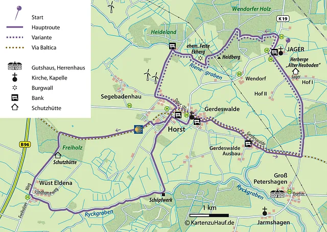
This circular route is characterized by a cozy rural atmosphere with wide views, two villages along the way and the river landscape of the Ryckgraben. It runs like the number eight or the sign of infinity, with the outward and return routes almost meeting in the village of Horst. Unfortunately, there are no opportunities to stop for refreshments or shop along the way.
Directions
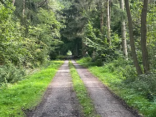
Again, the route starts at the Jager chapel and goes to the district road (K19), then right along the road to the first house on the left. Behind it, a path that initially appears to be private leads directly along the fence of the property into the forest. At the fork, turn left, then right at the next fork and right again at the third fork. Depending on the weather, the area on the left is boggy, with the “Horster Moor” stretching out behind it.
At the large intersection in the forest, turn left. The path leads through an open-looking pine and larch forest to the 25- to 30-meter-high Heidberg, a broad elevation where it remains unclear where the 'peak' is located. An overhead line runs through the (nevertheless) scenic area.
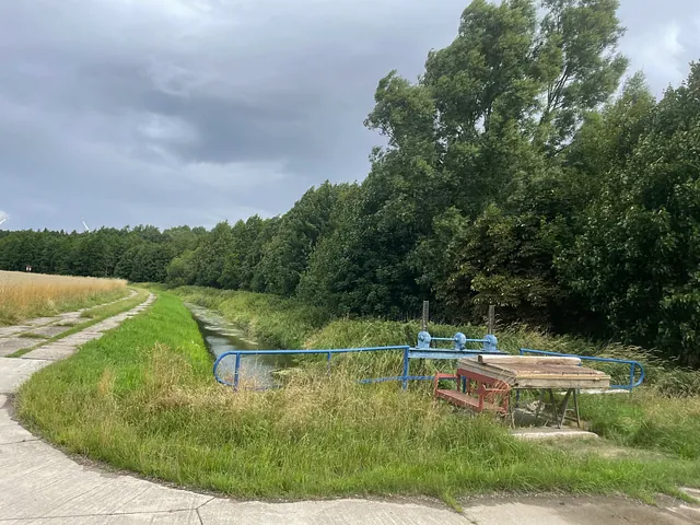
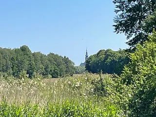
The path soon leaves the forest and winds through meadows to a blue-painted weir at Rienegraben. The church of Horst can already be seen straight ahead. The more beautiful path leads behind the blue weir to the right, parallel to Rienegraben on a paved path. The elevation on the right is the tower hill, where the Ekberg fortress stood in the 13th century.
The paved path leads to a crossroads where the red brick of the forester's lodge can be seen on the right, and a red bench invites you to take a break.
Continue left on the paved path towards “Segebadenhau”. Then turn left at the T-junction. The first houses still belong to Segebadenhau, although there is no sign indicating the entrance to the village. The road then leads to “Horst”.
There are a few moors in the Wendorfer Holz. They were drained in the 18th/19th century to cut fuel peat for the surrounding villages. Typical moorland plants that grow in nutrient-poor soil, such as peat moss, cotton grass and bog bilberry, can still be found in some places.
The Ekberg fortress, also known as the Schlossberg, a tower hill castle, was completely destroyed in the 13th century by the lords of Gristow and as early as 1331 during a feud with the Greifswald royal family.
At the mighty oak tree on the right, turn onto “Dorfstraße” and then immediately turn left at the first fork. The first signs of the Via Baltica can already be seen here.
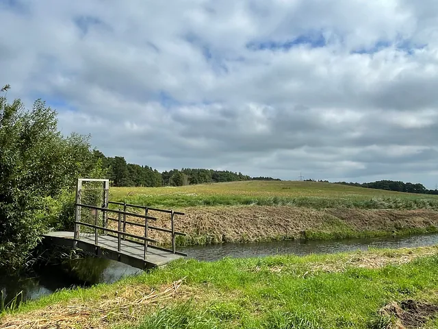
At the end of the road, follow the Via Baltica signs to the right, past the stables out of “Horst”. The marked pilgrimage route first branches off to the right, only to turn left after a short distance onto the former railroad line towards “Grimmen/Greifswald”. The path continues for a long, almost straight stretch through the meadow landscape, with the “Freiholz” forest bordering on the left. Leave the Via Baltica at the first turnoff to the left and enter the forest (Freiholz). The town of Wüst-Eldena begins behind the forest (there is no town sign on this side). This route first turns left onto Lindhorstweg. After the first property, turn right onto an unassuming dirt road. After a few meters, the reed belt on the right shows that you are on the right track. From now on, reeds, yellow water lilies, dragonflies, frogs and other water dwellers accompany you for 3.5 km along the path that runs directly along the Ryckgraben. At the pumping station (a conspicuous building with large windows), a paved path leads off to the left. At the first opportunity, leave the paved path to the right onto a sandy path and keep right at a fork. This path leads back into the center of Horst. This time, turn right after the first houses, at a rest area, (signposted “Alter Bahndamm”) and then left at the first opportunity, past the parsonage and into the village. The twisted church tower of Horst points the way. The small and large tours meet again at the church.
Variant
At the mighty oak tree, turn left onto the “Dorfstraße” and walk to the village square with the church, town hall and kindergarten.
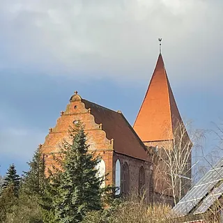
The church in Horst was first mentioned in 1323. It was originally intended to be much larger, comparable to the Church of St. James in Greifswald.
The twisted spire is the result of the beams twisting over the centuries.
Inside the church, there is a special altar of the Virgin Mary, larger-than-life figures of the apostles, a 15th-century baptismal font and much more to discover. The key to the church can be obtained from the nearby parsonage.
A beautiful village cemetery with old graves surrounds the village church.
Leave the church area via the main entrance and this time turn right onto “Dorfstraße” in the district of “Gerdeswalde”. Follow the Via Baltica pilgrimage route, this time against the “flow of pilgrims”, over the Rienegraben and continue to a crossroads where only a sandy path continues straight ahead and the asphalt road turns right.

